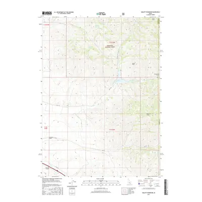
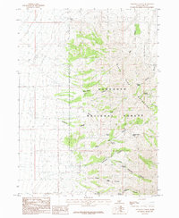
2017 Map of Sublett Reservoir
USGS Topo · Published 2017About this map
The Sawtooth National Forest dominates the northern reaches of this Idaho landscape, where the high ridges of the Sublett Range divide the watershed. Central to the area is the Sublett Reservoir, a key water feature fed by Sublett Cr and Lake Fork. The map documents a rugged network of drainages and springs, including South Fork Fall Creek Spring and Pine Grove Spring, which historically sustained livestock and early travelers through the arid canyons. The terrain is marked by steep elevation changes, with Ward Canyon and Beaver Dam Canyon cutting deep into the eastern boundary near the Cassia and Power County line. Modern access is traced along Sublett Rd and the Natl Forest Develop Road 564 Rd, which follow the natural contours of the land once used by homesteaders and ranchers in this part of Cassia County.
Find a feature on this map
62 named features on this map. Tap any name to fly to it.
Don’t see what you’re looking for? This feature index may not catch every label — zoom into the map to look around manually.
Map Details
Editions of this 2017 Sublett Reservoir Map
This is the sole edition of this map. No revisions or reprints were ever made.
Other maps of this area

1954 · Pocatello
USGS Topo · 1:250,000

1958 · Pocatello
USGS Topo · 1:250,000
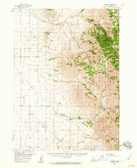
1958 · Sublett
USGS Topo · 1:62,500
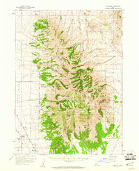
1959 · Strevell
USGS Topo · 1:62,500
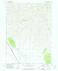
1973 · Juniper
USGS Topo · 1:24,000
1973 · Hartley Peak
USGS Topo · 1:24,000
1973 · Sublett Troughs
USGS Topo · 1:24,000
1984 · Malad City
USGS Topo · 1:100,000
1985 · North Heglar Canyon
USGS Topo · 1:24,000
1985 · Sandrock Canyon
USGS Topo · 1:24,000