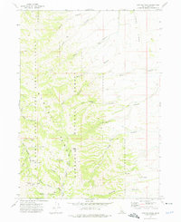
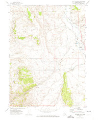
1973 Map of Hartley Peak
USGS Topo · Published 1976About this map
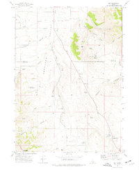
Hartley Peak stands as the central high point of this 1970s landscape, presiding over a complex network of drainages within the Sawtooth National Forest. The map detail reveals a rugged intersection of public lands, including the northern stretches of the Minidoka Bird Sanctuary State Forest. Navigating this terrain at the time was primarily the domain of a sparse network of jeep trails, which provided access to remote locations like Last Chance Gulch and Red Ledge.
Find a feature on this map
29 named features on this map. Tap any name to fly to it.
Don’t see what you’re looking for? This feature index may not catch every label — zoom into the map to look around manually.
Map Details
Editions of this 1973 Hartley Peak Map
This is the sole edition of this map. No revisions or reprints were ever made.
Other maps of this area
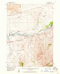
1934 · Rockland
USGS Topo · 1:62,500
1937 · Rockland
USGS Topo · 1:62,500

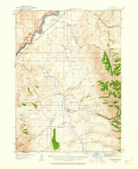
1954 · Pocatello
USGS Topo · 1:250,000

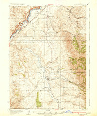
1958 · Pocatello
USGS Topo · 1:250,000
1958 · Sublett
USGS Topo · 1:62,500
1959 · Yale
USGS Topo · 1:62,500
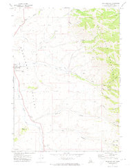
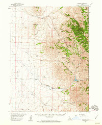
1971 · Rockland East
USGS Topo · 1:24,000
1971 · Rockland West
USGS Topo · 1:24,000
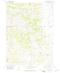
1973 · Sublett Troughs
USGS Topo · 1:24,000
1973 · Roy
USGS Topo · 1:24,000