
1971 Map of Rockland East
USGS Topo · Published 1973About this map
The high desert valley of Rockland Valley serves as the focal point for this 1971 study, where the modest settlement of Rockland sits at the base of the rising Deep Creek Mountains. The landscape is defined by the drainage patterns of the South Fork Rock Creek and East Fork Rock Creek, which carve through the benchlands alongside smaller seasonal systems like Sand Hollow and Dry Hollow. Agriculture and infrastructure are evident through labels for a Ditch, a Siphon, and several Storage Bins scattered across the valley floor. To the west, the distinctive peak of Mollys Nipple overlooks the terrain, while the eastern canyons, including Howard Mill Canyon and Hutchinson Canyon, show a more complex topography of springs and trails. A local Cemetery and several Barrow Pits provide specific points of interest for those tracing the historical footprint of this Power County community.
Find a feature on this map
32 named features on this map. Tap any name to fly to it.
Don’t see what you’re looking for? This feature index may not catch every label — zoom into the map to look around manually.
Map Details
Editions of this 1971 Rockland East Map
This is the sole edition of this map. No revisions or reprints were ever made.
Other maps of this area

1934 · Rockland
USGS Topo · 1:62,500

1937 · Rockland
USGS Topo · 1:62,500

1938 · Pauline
USGS Topo · 1:48,000

1944 · Arbon
USGS Topo · 1:62,500

1954 · Pocatello
USGS Topo · 1:250,000

1958 · Pocatello
USGS Topo · 1:250,000

1971 · Bannock Peak
USGS Topo · 1:24,000
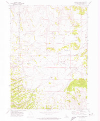
1971 · Sawmill Creek
USGS Topo · 1:24,000
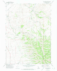
1971 · Indian Springs
USGS Topo · 1:24,000
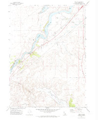
1971 · Neeley
USGS Topo · 1:24,000