
1971 Map of Rockland West
USGS Topo · Published 1974About this map
The high-desert agriculture of Power County is defined by the canyon systems and water management infrastructure surrounding Rockland. This 1971 survey illustrates the reliance on irrigation and topographic drainage, featuring the West Ditch and Lower West Ditch that skirt the eastern slopes. The landscape transitions from the agricultural valley floor, dotted with numerous storage bins, to the elevated terrain of Table Mountain and the prominent Cedar Ridge.
Find a feature on this map
28 named features on this map. Tap any name to fly to it.
Don’t see what you’re looking for? This feature index may not catch every label — zoom into the map to look around manually.
Map Details
Editions of this 1971 Rockland West Map
This is the sole edition of this map. No revisions or reprints were ever made.
Other maps of this area

1934 · Rockland
USGS Topo · 1:62,500

1937 · Rockland
USGS Topo · 1:62,500

1954 · Pocatello
USGS Topo · 1:250,000

1958 · Pocatello
USGS Topo · 1:250,000

1958 · Sublett
USGS Topo · 1:62,500

1959 · Yale
USGS Topo · 1:62,500

1971 · Rockland East
USGS Topo · 1:24,000
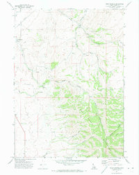
1971 · Indian Springs
USGS Topo · 1:24,000
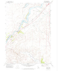
1971 · Neeley
USGS Topo · 1:24,000

1973 · Hartley Peak
USGS Topo · 1:24,000