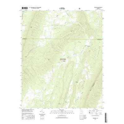
2017 Map of Subligna
USGS Topo · Published 2017About this map
West Armuchee Valley serves as a primary corridor for settlement in this portion of the Chattahoochee National Forest, where small communities and family burial grounds are tucked between high ridges. The map details the rural character of northern Georgia, specifically where Walker and Chattooga counties meet. Prominent landforms such as Taylor Ridge and Johns Mtn create a confined landscape of narrow valleys like Haywood Valley and Dry Creek Valley. Genealogists will find several distinct burial sites including Bethlehem Cem, Salmon Cem, and Mount Joy Cem. These locations, alongside the small settlement of Beatum, highlight a long-standing pattern of dispersed mountain communities connected by narrow roads like Scoggins Ln and Halls Valley Rd.
Find a feature on this map
38 named features on this map. Tap any name to fly to it.
Don’t see what you’re looking for? This feature index may not catch every label — zoom into the map to look around manually.
Map Details
Editions of this 2017 Subligna Map
This is the sole edition of this map. No revisions or reprints were ever made.
Other maps of this area

1886 · Ringgold
USGS Topo · 1:125,000

1886 · Rome
USGS Topo · 1:125,000

1892 · Ringgold
USGS Topo · 1:125,000

1898 · Rome
USGS Topo · 1:125,000

1899 · Rome
USGS Topo · 1:125,000

1904 · Rome
USGS Topo · 1:125,000

1935 · Catlett
USGS Topo · 1:24,000

1935 · Villanow
USGS Topo · 1:24,000

1936 · Estelle
USGS Topo · 1:24,000
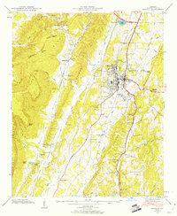
1946 · Estelle
USGS Topo · 1:24,000