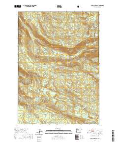
2020 Map of Substitute Point
USGS Topo · Published 2020About this map
Willamette National Forest encompasses this section of the Oregon Cascades, dominated by high-altitude peaks and a complex network of glacial lakes and mountain streams. Substitute Point stands as a prominent landmark overlooking the high country, where the landscape transitions into the subalpine terrain of Buck Meadows and Foley Ridge. The map detail reveals an intricate hydrologic system, from the Tokatee Lakes and Separation Lake in the north to the cluster of water bodies in the south including Moonlight Lake, Lower Horse Lake, and Middle Horse Lake. This 2020 survey illustrates the character of the Cascade Range prior to major recent forest changes, marking established geographic features like Honey Creek Falls and the secluded Cedar Swamp. The presence of numerous Water Holes and named creek systems like Horse Creek and Separation Cr highlights the region's importance for local hydrology and backcountry navigation.
Find a feature on this map
41 named features on this map. Tap any name to fly to it.
Don’t see what you’re looking for? This feature index may not catch every label — zoom into the map to look around manually.
Map Details
Editions of this 2020 Substitute Point Map
This is the sole edition of this map. No revisions or reprints were ever made.
Other maps of this area
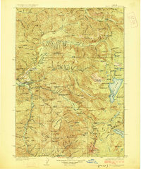
1925 · Waldo Lake
USGS Topo · 1:125,000
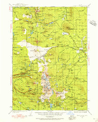
1929 · Three Sisters
USGS Topo · 1:125,000
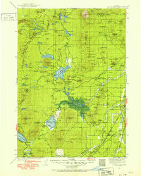
1930 · Maiden Peak
USGS Topo · 1:125,000
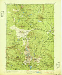
1932 · Three Sisters
USGS Topo · 1:125,000
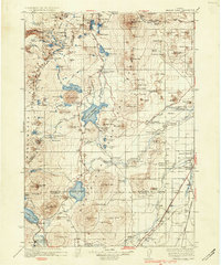
1934 · Maiden Peak
USGS Topo · 1:125,000
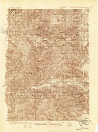
1934 · Mc Kenzie Bridge
USGS Topo · 1:96,000
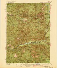
1940 · Mc Kenzie Bridge
USGS Topo · 1:125,000
1953 · Salem
USGS Topo · 1:250,000
1954 · Salem
USGS Topo · 1:250,000
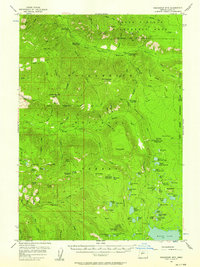
1955 · Chucksney Mtn
USGS Topo · 1:62,500