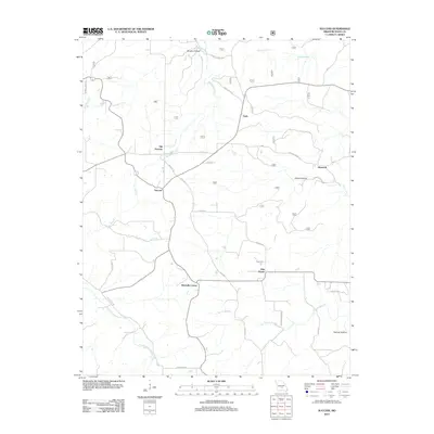
2012 Map of Success
USGS Topo · Published 2012About this map
The settlement of Success serves as a central hub in this northern Texas County landscape, where the shifting centers of local life are recorded by the presence of Old Success nearby. The area is defined by a network of winding roads like Mill Rd and Roubidoux Rd that navigate the hollows and creek beds of the Ozark Plateau. To the east, the small community of Ellsworth sits near Gillian Hollow, while Ellis Prairie and Mitchells Corner mark significant crossroads further south. The drainage patterns of East Fork Roubidoux Creek and Big Paddy Creek have historically dictated the placement of farms and early homesteads. Genealogists and local historians can trace family land ties through prominent rural landmarks and named geographic features such as Brushy Hollow and Flatrock Hollow, which provide a detailed look at the local topography and naming conventions of this Missouri region.
Find a feature on this map
32 named features on this map. Tap any name to fly to it.
Don’t see what you’re looking for? This feature index may not catch every label — zoom into the map to look around manually.
Map Details
Editions of this 2012 Success Map
This is the sole edition of this map. No revisions or reprints were ever made.
Other maps of this area

1937 · Edgar Springs
USGS Topo · 1:48,000

1941 · Big Piney
USGS Topo · 1:62,500

1941 · Bado
USGS Topo · 1:62,500

1943 · Big Piney
USGS Topo · 1:62,500

1943 · Bado
USGS Topo · 1:62,500

1945 · Edgar Springs
USGS Topo · 1:62,500

1949 · Rolla
USGS Topo · 1:250,000

1951 · Prescott
USGS Topo · 1:24,000

1951 · Houston
USGS Topo · 1:24,000

1951 · Raymondville
USGS Topo · 1:62,500