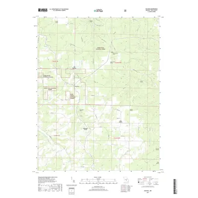
2017 Map of Success
USGS Topo · Published 2017About this map
The Mark Twain National Forest dominates the upper half of this Texas County landscape, where the wooded ridges and deep drainages of the Ozarks create a complex network of named hollows. Small upland settlements like Success and Ellis Prairie are connected by a web of local routes, including Success Rd and Hwy AA. The map captures a distinct transition from the heavily forested north, featuring Big Paddy Creek and Paddy Chapel Branch, to the more open agricultural patches found near Mitchells Corner.
Find a feature on this map
57 named features on this map. Tap any name to fly to it.
Don’t see what you’re looking for? This feature index may not catch every label — zoom into the map to look around manually.
Map Details
Editions of this 2017 Success Map
This is the sole edition of this map. No revisions or reprints were ever made.
Other maps of this area
1937 · Edgar Springs
USGS Topo · 1:48,000
1941 · Big Piney
USGS Topo · 1:62,500
1941 · Bado
USGS Topo · 1:62,500
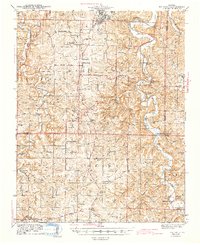
1943 · Big Piney
USGS Topo · 1:62,500
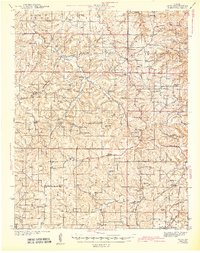
1943 · Bado
USGS Topo · 1:62,500
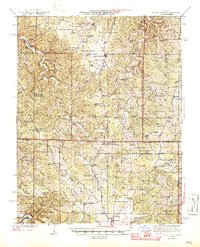
1945 · Edgar Springs
USGS Topo · 1:62,500

1949 · Rolla
USGS Topo · 1:250,000
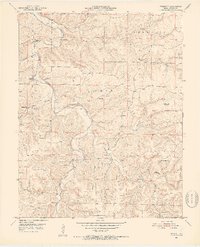
1951 · Prescott
USGS Topo · 1:24,000
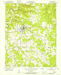
1951 · Houston
USGS Topo · 1:24,000
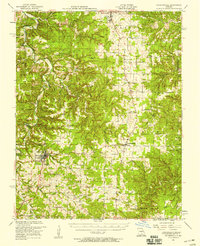
1951 · Raymondville
USGS Topo · 1:62,500