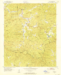
1950 Map of Suches
USGS Topo · Published 1952About this map
The Toccoa River winds through the northern reaches of this mid-century survey, a landscape defined by the high ridges and gaps of the Chattahoochee National Forest. Centered on the community of Suches, the map records a mountain society structured around small settlements like Gaddistown and Baxter, and local landmarks such as Woody Gap High Sch and Mt Pleasant Ch No 2. This era predates significant modern development in the Blue Ridge, showing a network of creeks—such as Canada Creek and Gooch Creek—that dictated the placement of early mountain roads and homesteads. The Appalachian Trail is clearly delineated as it traverses the crests from Woody Gap toward Black Mtn. Notable for genealogists are the numerous scattered churches, including Mt Zion Ch and Harmony Ch, which served as the social anchors for these isolated Union and Lumpkin County valleys.
Find a feature on this map
116 named features on this map. Tap any name to fly to it.
Don’t see what you’re looking for? This feature index may not catch every label — zoom into the map to look around manually.
Map Details
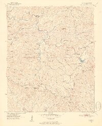
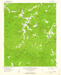
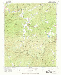
Editions of this 1950 Suches Map
4 editions found
Other maps of this area

1886 · Dahlonega
USGS Topo · 1:125,000

1888 · Ellijay
USGS Topo · 1:125,000

1892 · Dahlonega
USGS Topo · 1:125,000

1892 · Ellijay
USGS Topo · 1:125,000

1896 · Dahlonega
USGS Topo · 1:125,000

1898 · Ellijay
USGS Topo · 1:125,000

1903 · Dahlonega
USGS Topo · 1:125,000

1911 · Ellijay
USGS Topo · 1:125,000

1935 · Coosa Bald
USGS Topo · 1:24,000

1935 · Mulky Gap
USGS Topo · 1:24,000