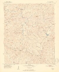
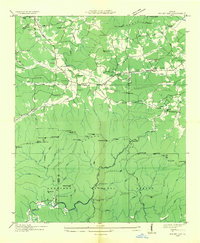
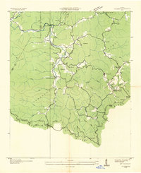
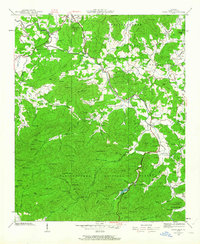
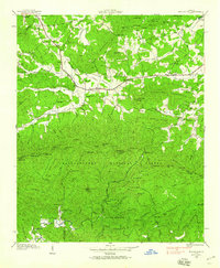
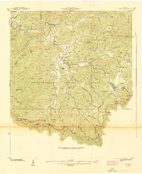
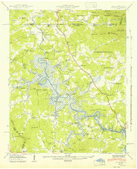
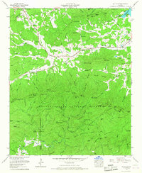
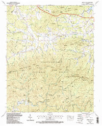
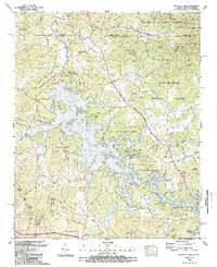
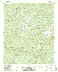
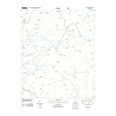
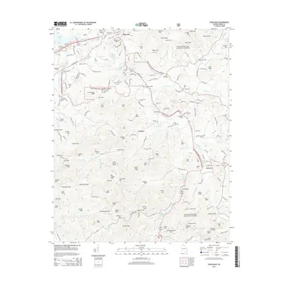
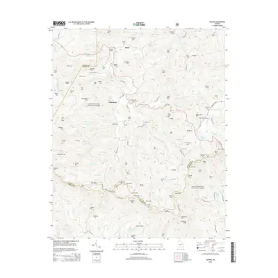
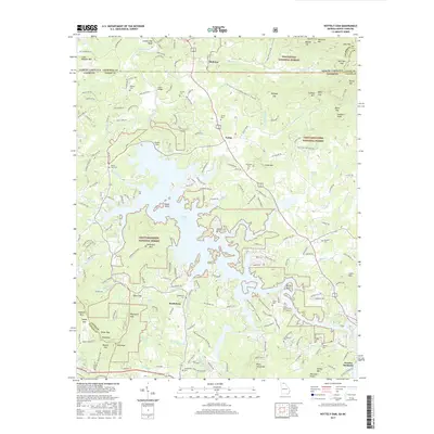
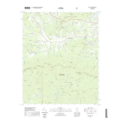
1950 Map of Suches
USGS Topo · Published 1952About this map
Suches and the surrounding mountain valley communities of Gaddistown, Baxter, and Lee are depicted here as they appeared at the mid-century. This portion of the Chattahoochee National Forest is defined by a landscape of named ridges and gaps, including Greasy Mountain and Rich Mountain. The map records a high density of rural institutions, such as Mt Pleasant Ch No 2, Harmony Ch, and the Woody Gap High Sch, serving as a vital record for family historians and local researchers.
Find a feature on this map
108 named features on this map. Tap any name to fly to it.
Don’t see what you’re looking for? This feature index may not catch every label — zoom into the map to look around manually.
Map Details
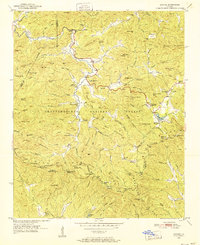
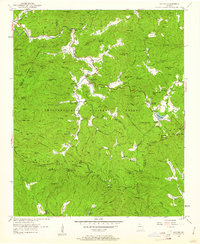
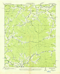
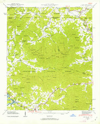
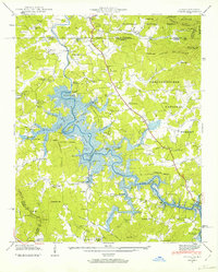
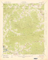
Editions of this 1950 Suches Map
4 editions found
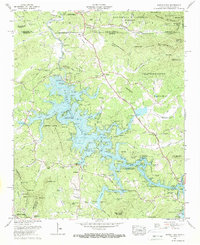
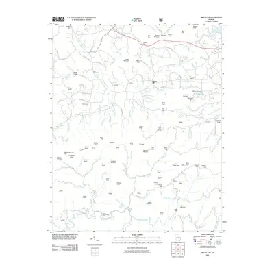
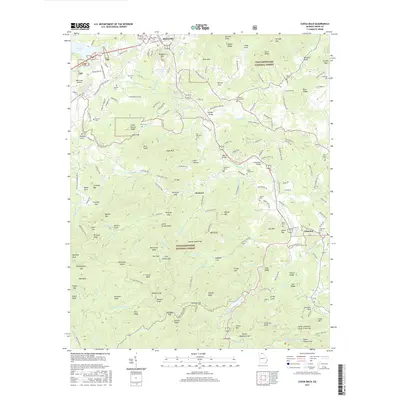
Historical Maps of Baxter Through Time
49 maps found

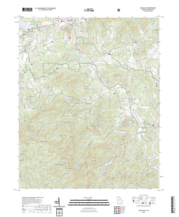
1935 Coosa Bald
Union County, GA
1935 Gumlog
Union County, GA

1935 Ivylog
Union County, GA

1935 Jacks Gap
Union County, GA
1935 Mulky Gap
Union County, GA
1935 Suches
Union County, GA
1938 Coosa Bald
Union County, GA

1938 Jacks Gap
Union County, GA
1938 Mulky Gap
Union County, GA
1938 Suches
Union County, GA
1941 Gumlog
Union County, GA
1941 Ivylog
Union County, GA
1942 Gumlog
Union County, GA
1942 Ivylog
Union County, GA
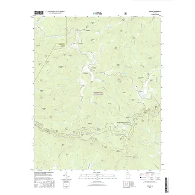
1950 Suches
Union County, GA
1957 Jacks Gap
Union County, GA
1965 Coosa Bald
Union County, GA
1965 Mulky Gap
Union County, GA
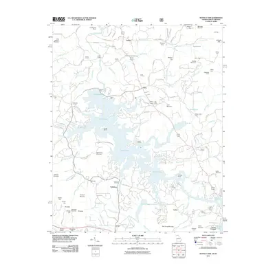
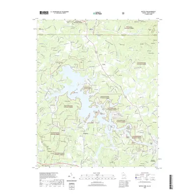
1966 Nottely Dam
Union County, GA
1988 Coosa Bald
Union County, GA
1988 Jacks Gap
Union County, GA
1988 Mulky Gap
Union County, GA
1988 Nottely Dam
Union County, GA
1988 Suches
Union County, GA
2011 Coosa Bald
Union County, GA
2011 Jacks Gap
Union County, GA
2011 Mulky Gap
Union County, GA
2011 Nottely Dam
Union County, GA
2011 Suches
Union County, GA
2014 Coosa Bald
Union County, GA
2014 Jacks Gap
Union County, GA
2014 Mulky Gap
Union County, GA
2014 Nottely Dam
Union County, GA
2014 Suches
Union County, GA
2017 Coosa Bald
Union County, GA
2017 Jacks Gap
Union County, GA
2017 Mulky Gap
Union County, GA
2017 Nottely Dam
Union County, GA
2017 Suches
Union County, GA
2020 Coosa Bald
Union County, GA
2020 Jacks Gap
Union County, GA
2020 Mulky Gap
Union County, GA
2020 Nottely Dam
Union County, GA
2020 Suches
Union County, GA
2024 Coosa Bald
Union County, GA
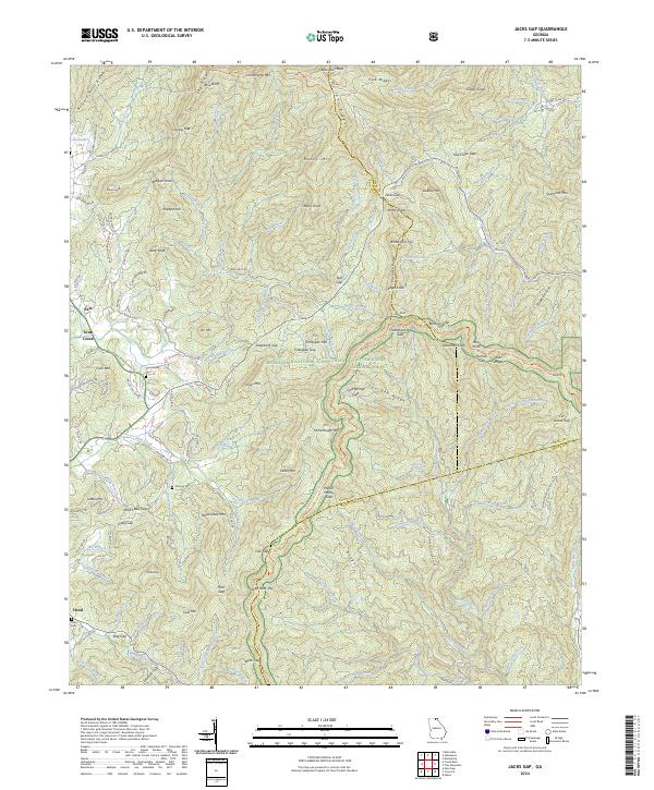
2024 Jacks Gap
Union County, GA
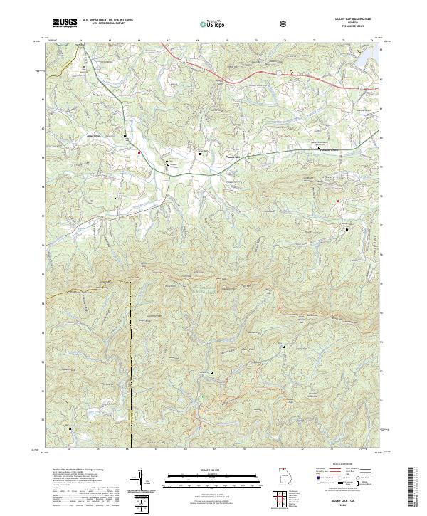
2024 Mulky Gap
Union County, GA
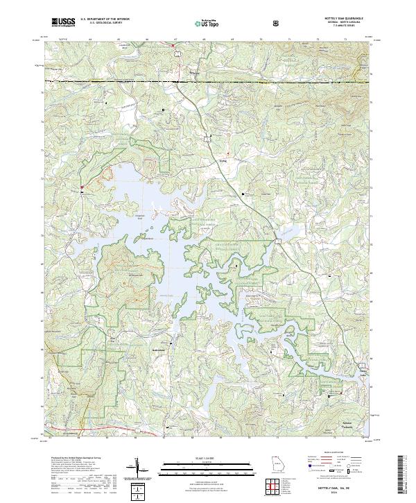
2024 Nottely Dam
Union County, GA
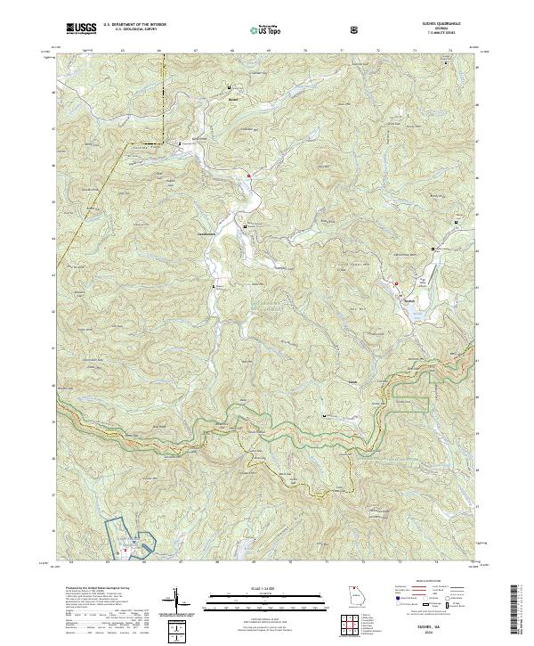
2024 Suches
Union County, GA