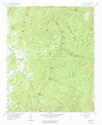
1957 Map of Jacks Gap
USGS Topo · Published 1984About this map
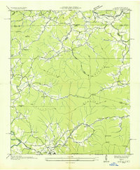
Brasstown Bald dominates this landscape on the Towns and Union County border, marking a high point in the Chattahoochee National Forest. This 1957 field check records a rural mountain community defined by its remote gaps and family-named landmarks. Near the settlement of Town Creek, local life centered around the Town Creek School and the Old Liberty Church and Old Liberty Cemetery.
Find a feature on this map
121 named features on this map. Tap any name to fly to it.
Don’t see what you’re looking for? This feature index may not catch every label — zoom into the map to look around manually.
Map Details
Editions of this 1957 Jacks Gap Map
4 editions found
Other maps of this area

1886 · Dahlonega
USGS Topo · 1:125,000

1892 · Dahlonega
USGS Topo · 1:125,000

1896 · Dahlonega
USGS Topo · 1:125,000

1903 · Dahlonega
USGS Topo · 1:125,000

1935 · Coosa Bald
USGS Topo · 1:24,000

1935 · Osborn
USGS Topo · 1:24,000

1935 · Cowrock
USGS Topo · 1:24,000

1935 · Tray Mountain
USGS Topo · 1:24,000
1935 · Gumlog
USGS Topo · 1:24,000

1935 · Jacks Gap
USGS Topo · 1:24,000