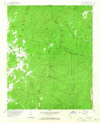
1957 Map of Jacks Gap
USGS Topo · Published 1965About this map
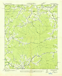
Chattahoochee National Forest dominates this mid-century landscape where the boundaries of Towns, Union, and White counties converge. The rugged terrain is defined by the Tennessee Valley Divide, a natural barrier traversed by the iconic Appalachian Trail as it winds past Horsetrough Mtn and through several gaps. Small pockets of settlement appear in the valleys, particularly around the Town community, where Town Creek Sch and Old Liberty Ch served as local landmarks for rural families. A Lookout Tower atop one of the peaks provides a vantage point over the dense network of named watercourses, including Arkaqua Creek and Fodder Creek, illustrating the remote and densely forested character of the Blue Ridge Mountains during this era of federal land management.
Find a feature on this map
119 named features on this map. Tap any name to fly to it.
Don’t see what you’re looking for? This feature index may not catch every label — zoom into the map to look around manually.
Map Details
Editions of this 1957 Jacks Gap Map
4 editions found
Other maps of this area

1886 · Dahlonega
USGS Topo · 1:125,000

1892 · Dahlonega
USGS Topo · 1:125,000

1896 · Dahlonega
USGS Topo · 1:125,000

1903 · Dahlonega
USGS Topo · 1:125,000

1935 · Coosa Bald
USGS Topo · 1:24,000

1935 · Osborn
USGS Topo · 1:24,000

1935 · Cowrock
USGS Topo · 1:24,000

1935 · Tray Mountain
USGS Topo · 1:24,000
1935 · Gumlog
USGS Topo · 1:24,000

1935 · Jacks Gap
USGS Topo · 1:24,000