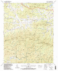
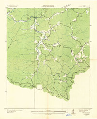
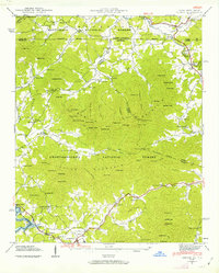
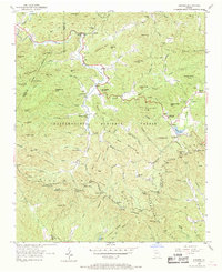
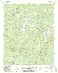
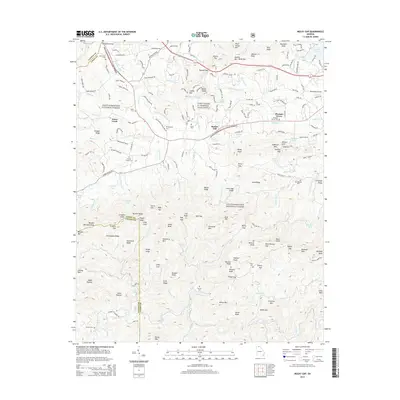
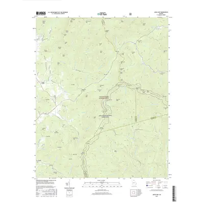
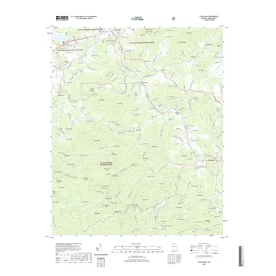
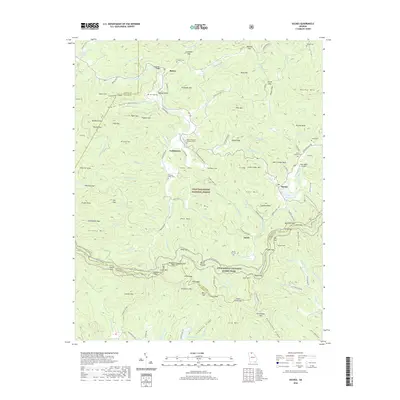
1988 Map of Mulky Gap
USGS Topo · Published 1991About this map
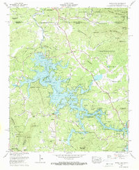
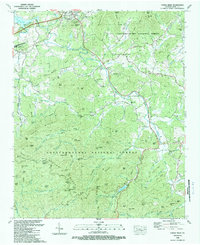
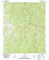
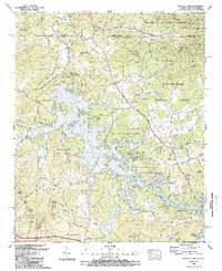
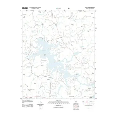
Chattahoochee National Forest dominates the southern half of this landscape, where the Duncan Ridge and its namesake Duncan Ridge Trail wind through numerous gaps and knobs. To the north, the terrain transitions into a settled valley network defined by Youngcane Creek and its many tributaries, such as Watts Creek and Jones Creek. The map documents a period of development near the Blairsville Municipal Airport, while also preserving the locations of rural community centers like Philadelphia Ch and several family burial grounds, including the Jones Cem and Dillard Chapel Cem. Further south, the Cooper Creek Recreation Area and Cooper Creek Campground indicate the mid-century focus on public forestry and outdoor management. The northeast corner is marked by the shoreline of Nottely Lake, illustrating the impact of water management on the local geography.
Find a feature on this map
135 named features on this map. Tap any name to fly to it.
Don’t see what you’re looking for? This feature index may not catch every label — zoom into the map to look around manually.
Map Details
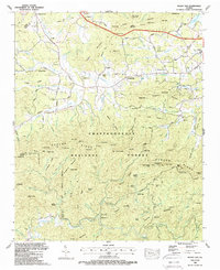
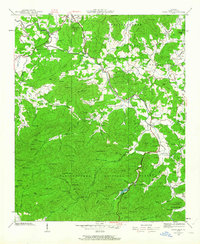
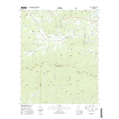
Editions of this 1988 Mulky Gap Map
2 editions found
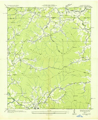
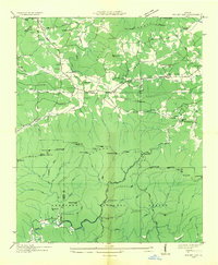
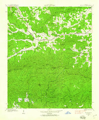
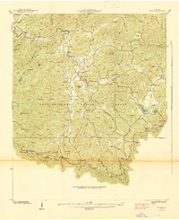
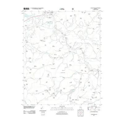
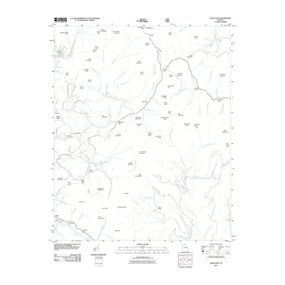
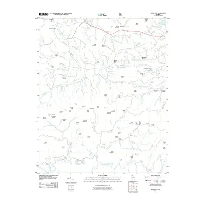
Historical Maps of Jones Creek Through Time
49 maps found

1935 Coosa Bald
Union County, GA
1935 Gumlog
Union County, GA

1935 Ivylog
Union County, GA

1935 Jacks Gap
Union County, GA
1935 Mulky Gap
Union County, GA
1935 Suches
Union County, GA
1938 Coosa Bald
Union County, GA

1938 Jacks Gap
Union County, GA
1938 Mulky Gap
Union County, GA
1938 Suches
Union County, GA
1941 Gumlog
Union County, GA
1941 Ivylog
Union County, GA
1942 Gumlog
Union County, GA
1942 Ivylog
Union County, GA
1950 Suches
Union County, GA
1957 Jacks Gap
Union County, GA
1965 Coosa Bald
Union County, GA
1965 Mulky Gap
Union County, GA
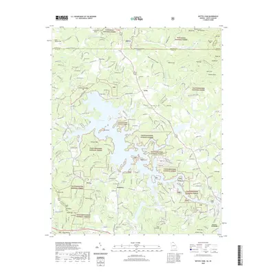
1966 Nottely Dam
Union County, GA
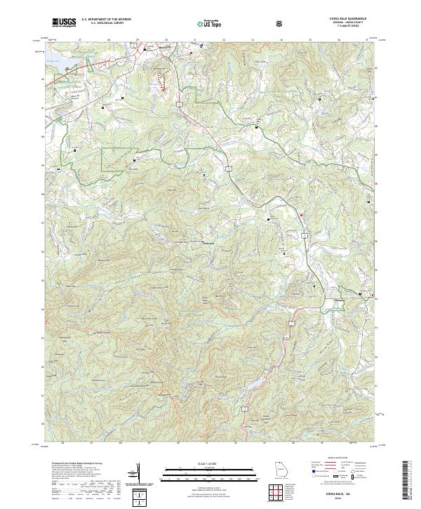
1988 Coosa Bald
Union County, GA
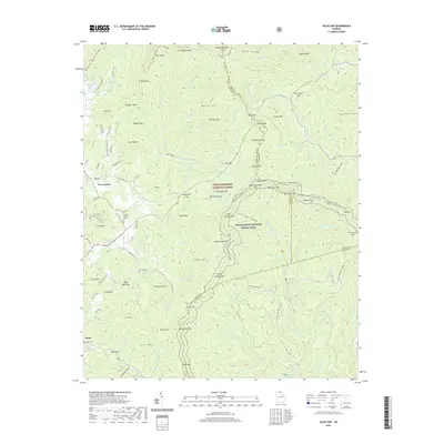
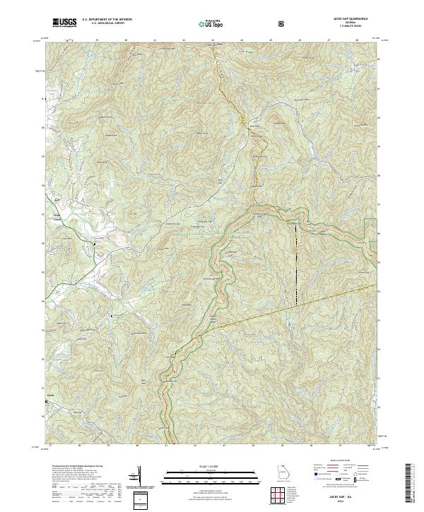
1988 Jacks Gap
Union County, GA
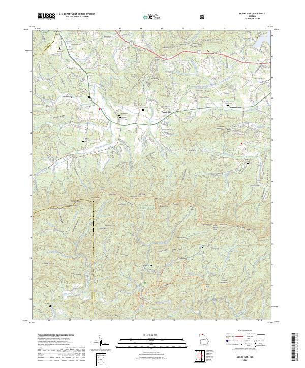
1988 Mulky Gap
Union County, GA
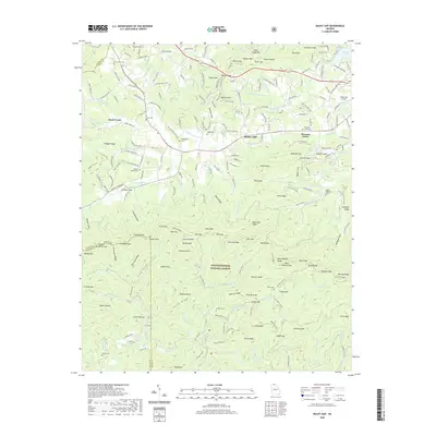
1988 Nottely Dam
Union County, GA
1988 Suches
Union County, GA
2011 Coosa Bald
Union County, GA
2011 Jacks Gap
Union County, GA
2011 Mulky Gap
Union County, GA
2011 Nottely Dam
Union County, GA
2011 Suches
Union County, GA
2014 Coosa Bald
Union County, GA
2014 Jacks Gap
Union County, GA
2014 Mulky Gap
Union County, GA
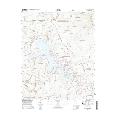
2014 Nottely Dam
Union County, GA
2014 Suches
Union County, GA
2017 Coosa Bald
Union County, GA
2017 Jacks Gap
Union County, GA
2017 Mulky Gap
Union County, GA
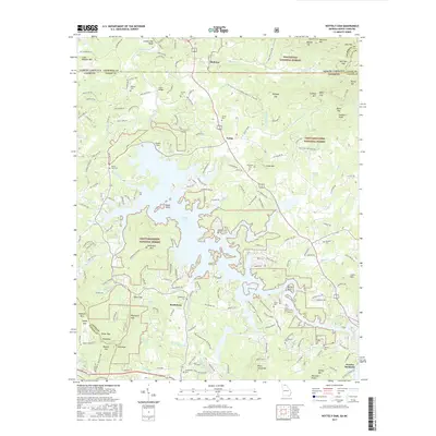
2017 Nottely Dam
Union County, GA
2017 Suches
Union County, GA
2020 Coosa Bald
Union County, GA
2020 Jacks Gap
Union County, GA
2020 Mulky Gap
Union County, GA
2020 Nottely Dam
Union County, GA
2020 Suches
Union County, GA
2024 Coosa Bald
Union County, GA
2024 Jacks Gap
Union County, GA
2024 Mulky Gap
Union County, GA
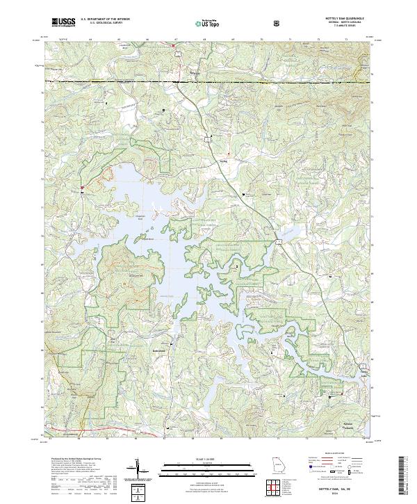
2024 Nottely Dam
Union County, GA
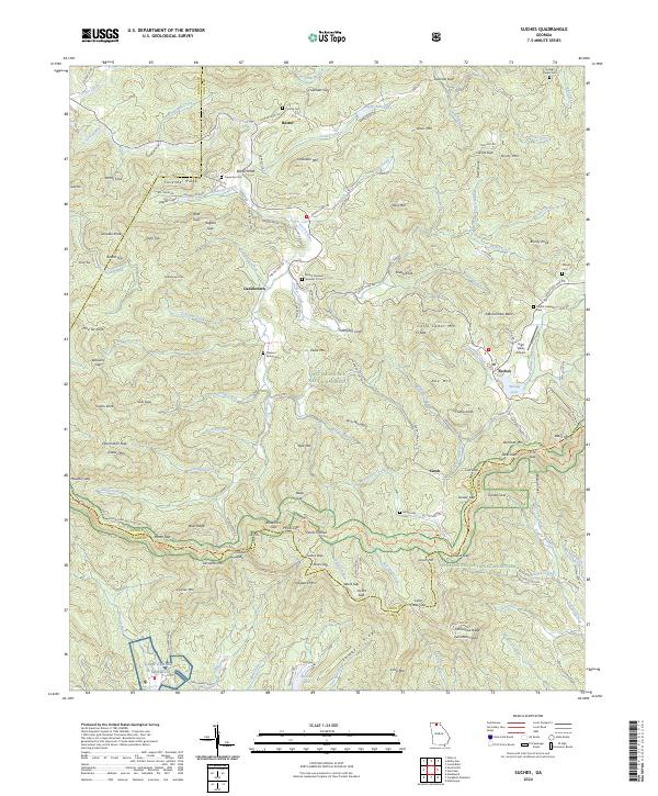
2024 Suches
Union County, GA