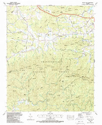
1988 Map of Mulky Gap
USGS Topo · Published 1988About this map
The Chattahoochee National Forest dominates this mountain landscape in late-1980s Georgia, where the high ridges of the Duncan Ridge Trail separate deep coves and creek drainages. The northern portion of the map shows the transition from the forested heights toward the valley floor, featuring the Blairsville Municipal Airport and the southern reaches of Nottely Lake. Local family heritage is preserved in numerous rural landmarks, including the Dillard Chapel Cem, Jones Cem, and Philadelphia Ch. High mountain gaps like Mulky Gap and Queens Gap served as historic transit points through the steep terrain. South of the main ridges, the Cooper Creek Recreation Area provides a focused look at the era's recreational development along Cooper Creek. This survey captures the region just as modern infrastructure, like the 4 Lane highway, began to reshape traditional mountain access routes.
Find a feature on this map
109 named features on this map. Tap any name to fly to it.
Don’t see what you’re looking for? This feature index may not catch every label — zoom into the map to look around manually.
Map Details
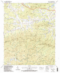
Editions of this 1988 Mulky Gap Map
2 editions found
Other maps of this area

1886 · Dahlonega
USGS Topo · 1:125,000

1888 · Ellijay
USGS Topo · 1:125,000

1892 · Dahlonega
USGS Topo · 1:125,000

1892 · Ellijay
USGS Topo · 1:125,000

1896 · Dahlonega
USGS Topo · 1:125,000

1898 · Ellijay
USGS Topo · 1:125,000

1903 · Dahlonega
USGS Topo · 1:125,000

1911 · Ellijay
USGS Topo · 1:125,000

1935 · Coosa Bald
USGS Topo · 1:24,000

1935 · Ivylog
USGS Topo · 1:24,000