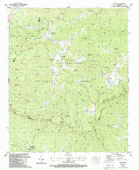
1988 Map of Suches
USGS Topo · Published 1988About this map
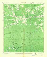
Chattahoochee National Forest dominates this landscape in northern Georgia, where the high peaks of the Blue Ridge define local settlement patterns. Small mountain communities like Suches and Gaddistown are tucked into the valleys, connected by winding roads that traverse historic mountain passes. The presence of Camp Merrill (U S Army) in the southern portion of the sheet reflects the military's use of this difficult terrain for training purposes.
Find a feature on this map
137 named features on this map. Tap any name to fly to it.
Don’t see what you’re looking for? This feature index may not catch every label — zoom into the map to look around manually.
Map Details
Editions of this 1988 Suches Map
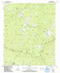
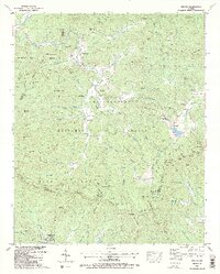
3 editions found
Other maps of this area

1886 · Dahlonega
USGS Topo · 1:125,000

1888 · Ellijay
USGS Topo · 1:125,000

1892 · Dahlonega
USGS Topo · 1:125,000

1892 · Ellijay
USGS Topo · 1:125,000
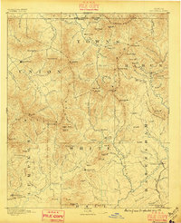
1896 · Dahlonega
USGS Topo · 1:125,000
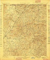
1898 · Ellijay
USGS Topo · 1:125,000
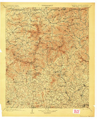
1903 · Dahlonega
USGS Topo · 1:125,000
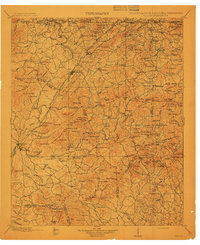
1911 · Ellijay
USGS Topo · 1:125,000
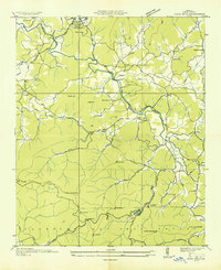
1935 · Coosa Bald
USGS Topo · 1:24,000
1935 · Mulky Gap
USGS Topo · 1:24,000