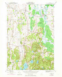
1946 Map of Sudbury
USGS Topo · Published 1973About this map
Sudbury and its surrounding wetlands define this mid-century survey of the Addison Co Rutland Co border. The landscape is characterized by an extensive network of marshes and waterways, most notably the winding Otter Creek and the expansive Salisbury Swamp in the northeast. This 1946 topography, updated in the early 1970s, reveals a rural Vermont economy anchored by small village centers like Whiting and Leicester Junction, connected by the Seth Warner Memorial Highway.
Find a feature on this map
55 named features on this map. Tap any name to fly to it.
Don’t see what you’re looking for? This feature index may not catch every label — zoom into the map to look around manually.
Map Details
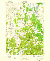
Editions of this 1946 Sudbury Map
2 editions found
Other maps of this area

1893 · Whitehall
USGS Topo · 1:62,500

1894 · Ticonderoga
USGS Topo · 1:62,500

1895 · Whitehall
USGS Topo · 1:62,500

1895 · Castleton
USGS Topo · 1:62,500

1896 · Ticonderoga
USGS Topo · 1:62,500

1897 · Castleton
USGS Topo · 1:62,500

1898 · Whitehall
USGS Topo · 1:62,500

1902 · Whitehall
USGS Topo · 1:62,500

1902 · Ticonderoga
USGS Topo · 1:62,500

1902 · Brandon
USGS Topo · 1:62,500