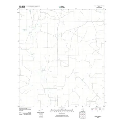
2010 Map of Sugar Creek
USGS Topo · Published 2010About this map
Big Manning Ranch sits at the heart of this brush country landscape in Zavala County, where the network of ephemeral waterways and cattle tanks defines the local geography. The drainage patterns of Arroyo Negro, Loma Vista Creek, and Burtrand Creek converge toward the larger Sugar Creek, illustrating the vital importance of water management in this semi-arid region. Ranching infrastructure is prominent, with several named water sources such as Garys Tank, John Davis Tank, and Gate Tank serving as essential landmarks for land navigation and local history. Transportation is anchored by the north-south corridor of Ranch Rd 1867, which links these disparate ranching outposts across the sparsely populated terrain.
Find a feature on this map
13 named features on this map. Tap any name to fly to it.
Don’t see what you’re looking for? This feature index may not catch every label — zoom into the map to look around manually.
Map Details
Editions of this 2010 Sugar Creek Map
This is the sole edition of this map. No revisions or reprints were ever made.
Other maps of this area

1939 · Big Wells
USGS Topo · 1:62,500

1942 · Divot
USGS Topo · 1:62,500

1953 · Crystal City
USGS Topo · 1:250,000

1955 · Crystal City
USGS Topo · 1:250,000

1956 · Woodward
USGS Topo · 1:62,500

1956 · Divot
USGS Topo · 1:62,500

1957 · Batesville
USGS Topo · 1:62,500

1961 · Crystal City
USGS Topo · 1:250,000

1968 · Crystal City
USGS Topo · 1:250,000
1972 · Big Wells
USGS Topo · 1:24,000