
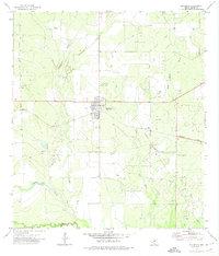
2022 Map of Sugar Creek
USGS Topo · Published 2022About this map
The brush country along the Zavala Co and Dimmit Co border defines this South Texas landscape, where water management is central to the local geography. Numerous livestock tanks, such as Garys Tank, Lost Tank, and John Davis Tank, are scattered across the terrain, indicating a reliance on these man-made features in an arid environment. These tanks serve as critical landmarks in a region largely defined by its drainage systems.
Find a feature on this map
14 named features on this map. Tap any name to fly to it.
Don’t see what you’re looking for? This feature index may not catch every label — zoom into the map to look around manually.
Map Details
Editions of this 2022 Sugar Creek Map
This is the sole edition of this map. No revisions or reprints were ever made.
Other maps of this area

1939 · Big Wells
USGS Topo · 1:62,500

1942 · Divot
USGS Topo · 1:62,500

1953 · Crystal City
USGS Topo · 1:250,000

1955 · Crystal City
USGS Topo · 1:250,000

1956 · Woodward
USGS Topo · 1:62,500

1956 · Divot
USGS Topo · 1:62,500

1957 · Batesville
USGS Topo · 1:62,500

1961 · Crystal City
USGS Topo · 1:250,000

1968 · Crystal City
USGS Topo · 1:250,000
1972 · Big Wells
USGS Topo · 1:24,000