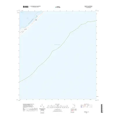
2021 Map of Sugar Hill
USGS Topo · Published 2021About this map
Sugar Hill sits on the edge of the Saint George Sound, a coastal landscape where Franklin County's mainland meets the barrier island system. This survey illustrates the protected waters of the Intracoastal Waterway and the narrow northern tip of Saint George Island, which separates the sound from the vast Gulf of Mexico. Small islands like Marsh Island and sheltered inlets such as Pilot Harbor define the interface between land and sea. Modern coastal infrastructure is represented by the path of Co Rd 300 and the Florida Circumnavigational Paddling Trl, indicating the importance of both road and water access in this maritime region. The map provides a precise look at the shifting shorelines and maritime corridors of the Florida panhandle as they existed in the early twenty-first century.
Find a feature on this map
9 named features on this map. Tap any name to fly to it.
Don’t see what you’re looking for? This feature index may not catch every label — zoom into the map to look around manually.
Map Details
Editions of this 2021 Sugar Hill Map
This is the sole edition of this map. No revisions or reprints were ever made.
Other maps of this area

1943 · Dog Island
USGS Topo · 1:31,680

1943 · Carrabelle
USGS Topo · 1:24,000

1944 · Carrabelle
USGS Topo · 1:31,680

1944 · Green Point
USGS Topo · 1:31,680

1944 · Sugar Hill
USGS Topo · 1:31,680

1945 · Sugar Hill
USGS Topo · 1:31,680

1949 · Apalachicola
USGS Topo · 1:250,000

1950 · Goose Island
USGS Topo · 1:31,680

1957 · Apalachicola
USGS Topo · 1:250,000

1959 · Apalachicola
USGS Topo · 1:250,000