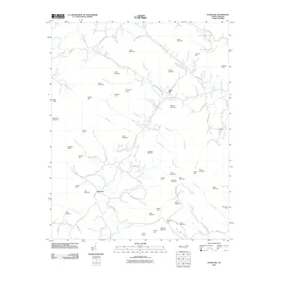
2010 Map of Sugar Hill
USGS Topo · Published 2010About this map
The Sugar Hill community and the settlement of Whitehouse anchor this high-elevation terrain in the North Carolina Blue Ridge foothills. The landscape is defined by the winding course of the Second Broad River and numerous drainages like Cove Creek and Morgan Creek that carve through a complex series of peaks and gaps. The area's topography is notably rugged, rising to heights at Hickorynut Mountain, Morgan Mountain, and Pinnacle Mountain. Small-scale agricultural and rural developments are evident along the valley floors, connected by roads such as Sugar Hill Rd and Old Fort Sugar Hill Rd. Local history is rooted in family landmarks and small community sites, including the Lawing Cemetery and the WW Jones Dam on the eastern edge of the quadrangle. The map captures a moment when the rural character of the region remained dominant, with scattered residential clusters situated between steep ridges like Ledbetter Ridge and Bailey Ridge.
Find a feature on this map
103 named features on this map. Tap any name to fly to it.
Don’t see what you’re looking for? This feature index may not catch every label — zoom into the map to look around manually.
Map Details
Editions of this 2010 Sugar Hill Map
This is the sole edition of this map. No revisions or reprints were ever made.
Other maps of this area

1900 · Mount Mitchell
USGS Topo · 1:125,000

1902 · Mount Mitchell
USGS Topo · 1:125,000

1905 · Morganton
USGS Topo · 1:125,000

1907 · Saluda
USGS Topo · 1:125,000

1934 · Parts Of Old Fort and Montreat
USGS Topo · 1:24,000

1953 · Charlotte
USGS Topo · 1:250,000

1954 · Charlotte
USGS Topo · 1:250,000

1955 · Knoxville
USGS Topo · 1:250,000

1957 · Knoxville
USGS Topo · 1:250,000

1959 · Lake Lure
USGS Topo · 1:62,500