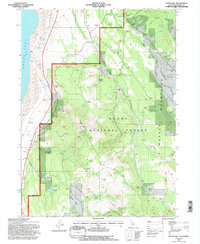
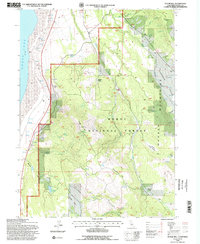
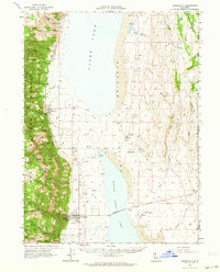
1993 Map of Sugar Hill
USGS Topo · Published 1997About this map
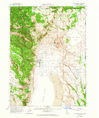
Warner Mountains dominate this 1993 revision of the Modoc County high country, where the steep eastern slopes of the range drop into the Fandango Valley. This survey captures a landscape of extreme transitions, from the shoreline of Goose Lake on the western edge to the high timber of Modoc National Forest. A site of significant historical weight is noted at the Site of Fandango Massacre near the valley floor, marking the intersection of emigrant trails and tribal territories.
Find a feature on this map
35 named features on this map. Tap any name to fly to it.
Don’t see what you’re looking for? This feature index may not catch every label — zoom into the map to look around manually.
Map Details
Editions of this 1993 Sugar Hill Map
2 editions found
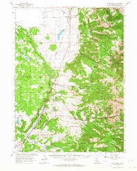
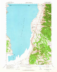
Other maps of this area

1886 · Alturas
USGS Topo · 1:250,000

1892 · Alturas
USGS Topo · 1:250,000

1954 · Alturas
USGS Topo · 1:250,000

1958 · Alturas
USGS Topo · 1:250,000

1962 · Alturas
USGS Topo · 1:250,000
1962 · Davis Creek
USGS Topo · 1:62,500
1962 · Willow Ranch
USGS Topo · 1:62,500
1962 · Cedarville
USGS Topo · 1:62,500
1962 · Fort Bidwell
USGS Topo · 1:62,500

1965 · Alturas
USGS Topo · 1:250,000