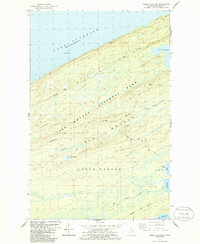
1985 Map of Sugar Mountain
USGS Topo · Published 1986About this map
Isle Royale National Park is defined here by its striking parallel topography, where the massive Greenstone Ridge and Minong Ridge run southwest to northeast across the island. This mid-1980s data highlights the physical remnants of the island's brief copper mining boom, most notably at the Island Mine and its associated Cem near the shores of Siskiwit Bay. The map captures a landscape shaped by these steep ridges and the drainages between them, including Washington Creek and Grace Creek flowing into the western bays. Interior water bodies like the expansive Lake Desor and Lily Lake sit perched among the elevations of Mount Desor and the quadrangle's namesake, Sugar Mountain. Extensive wilderness trails, such as the Minong Trail and Feldtmann Ridge Trail, connect these remote landmarks for modern backcountry navigation.
Find a feature on this map
28 named features on this map. Tap any name to fly to it.
Don’t see what you’re looking for? This feature index may not catch every label — zoom into the map to look around manually.
Map Details
Editions of this 1985 Sugar Mountain Map
2 editions found
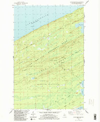
Other maps of this area

1958 · Hancock
USGS Topo · 1:250,000

1959 · Fort William
USGS Topo · 1:250,000

1960 · Hancock
USGS Topo · 1:250,000

1961 · Hancock
USGS Topo · 1:250,000

1966 · Hancock
USGS Topo · 1:250,000

1968 · Fort William
USGS Topo · 1:250,000

1985 · Todd Harbor
USGS Topo · 1:100,000

1985 · Pigeon Point
USGS Topo · 1:100,000

1985 · Siskiwit Bay
USGS Topo · 1:100,000

1985 · Grand Portage
USGS Topo · 1:100,000