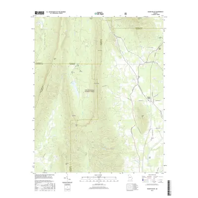
2017 Map of Sugar Valley
USGS Topo · Published 2017About this map
The Chattahoochee National Forest dominates the central terrain of this North Georgia survey, where the ridges of Johns Mtn, Horn Mtn, and Mill Mtn create a series of sheltered basins. The low-lying East Armuchee Valley and Furnace Valley follow the north-south grain of the Ridge and Valley province, providing natural corridors for early roads and farming. This geography is punctuated by specific passings like Calhoun Gap and Pocket Gap, which historically linked these isolated valleys.
Find a feature on this map
60 named features on this map. Tap any name to fly to it.
Don’t see what you’re looking for? This feature index may not catch every label — zoom into the map to look around manually.
Map Details
Editions of this 2017 Sugar Valley Map
This is the sole edition of this map. No revisions or reprints were ever made.
Other maps of this area

1886 · Dalton
USGS Topo · 1:125,000

1886 · Ringgold
USGS Topo · 1:125,000

1886 · Rome
USGS Topo · 1:125,000

1890 · Cartersville
USGS Topo · 1:125,000

1891 · Cartersville
USGS Topo · 1:125,000

1892 · Ringgold
USGS Topo · 1:125,000

1892 · Dalton
USGS Topo · 1:125,000

1896 · Cartersville
USGS Topo · 1:125,000

1897 · Dalton
USGS Topo · 1:125,000

1898 · Rome
USGS Topo · 1:125,000