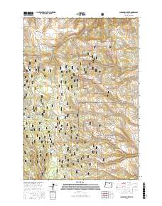
2017 Map of Sugarbowl Creek
USGS Topo · Published 2017About this map
Umatilla National Forest encompasses the majority of this landscape, characterized by the rugged watershed of Sugarbowl Creek and its many seasonal tributaries. The topography is defined by significant landmarks like Battle Mtn and the prominent Sugarbowl Ridge, which together shape the drainage patterns for creeks such as Deerlick Cr and E Fork Butter Cr. The map reveals a remote area primarily utilized for ranching and resource management, anchored by the Gilman Ranch in the southwest.
Find a feature on this map
61 named features on this map. Tap any name to fly to it.
Don’t see what you’re looking for? This feature index may not catch every label — zoom into the map to look around manually.
Map Details
Editions of this 2017 Sugarbowl Creek Map
This is the sole edition of this map. No revisions or reprints were ever made.
Other maps of this area

1953 · Pendleton
USGS Topo · 1:250,000

1956 · Pendleton
USGS Topo · 1:250,000

1967 · Bridge Creek
USGS Topo · 1:24,000

1967 · Carney Butte
USGS Topo · 1:24,000

1967 · Ukiah
USGS Topo · 1:24,000

1968 · Hoodlum Canyon
USGS Topo · 1:24,000

1968 · Gurdane
USGS Topo · 1:24,000

1969 · Sugarbowl Creek
USGS Topo · 1:24,000

1969 · Deerhorn Creek
USGS Topo · 1:24,000

1969 · Thompson Flat
USGS Topo · 1:24,000