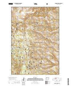
2020 Map of Sugarbowl Creek
USGS Topo · Published 2020About this map
Umatilla National Forest encompasses this section of the Blue Mountains, where the drainage systems of Sugarbowl Creek and Buckhorn Creek carve through the high terrain. The landscape is defined by its seasonal access and elevation, with several routes designated specifically for winter use, including the Matlock Prairie, Gilman Ranch, and the Old Western Route. These snow-restricted corridors highlight the area's remote character and its management for recreational or seasonal ranching utility.
Find a feature on this map
32 named features on this map. Tap any name to fly to it.
Don’t see what you’re looking for? This feature index may not catch every label — zoom into the map to look around manually.
Map Details
Editions of this 2020 Sugarbowl Creek Map
This is the sole edition of this map. No revisions or reprints were ever made.
Other maps of this area

1953 · Pendleton
USGS Topo · 1:250,000

1956 · Pendleton
USGS Topo · 1:250,000

1967 · Bridge Creek
USGS Topo · 1:24,000

1967 · Carney Butte
USGS Topo · 1:24,000

1967 · Ukiah
USGS Topo · 1:24,000

1968 · Hoodlum Canyon
USGS Topo · 1:24,000

1968 · Gurdane
USGS Topo · 1:24,000

1969 · Sugarbowl Creek
USGS Topo · 1:24,000

1969 · Deerhorn Creek
USGS Topo · 1:24,000

1969 · Thompson Flat
USGS Topo · 1:24,000