
1979 Map of Sugarloaf
USGS Topo · Published 1980About this map
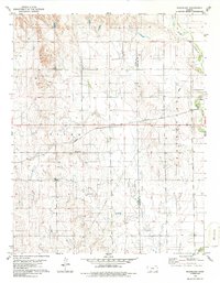
The namesake Sugarloaf landform rises as a prominent landmark in this Kansas borderland, situated along the county line where Clark Co and Comanche Co meet. The local economy is defined by industrial extraction and long-distance transport, evidenced by the sprawling Gas Field in the southwest and the Atchison Topeka and Santa Fe railroad corridor. This rail line provides a vital link between the townships of Sitka to the west and Protection to the east.
Find a feature on this map
10 named features on this map. Tap any name to fly to it.
Don’t see what you’re looking for? This feature index may not catch every label — zoom into the map to look around manually.
Map Details
Editions of this 1979 Sugarloaf Map
2 editions found
Other maps of this area

1892 · Coldwater
USGS Topo · 1:125,000

1894 · Sitka
USGS Topo · 1:62,500

1896 · Ashland
USGS Topo · 1:125,000

1955 · Pratt
USGS Topo · 1:250,000

1959 · Pratt
USGS Topo · 1:250,000

1979 · Sitka
USGS Topo · 1:24,000

1979 · East Kiowa Creek South
USGS Topo · 1:24,000
1979 · Sitka SW
USGS Topo · 1:24,000
1979 · Lexington
USGS Topo · 1:24,000
1979 · Trout Creek
USGS Topo · 1:24,000