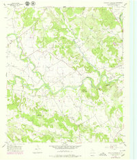
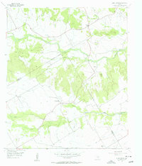
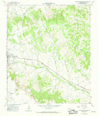
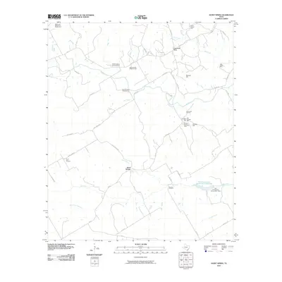
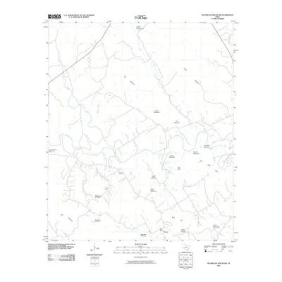
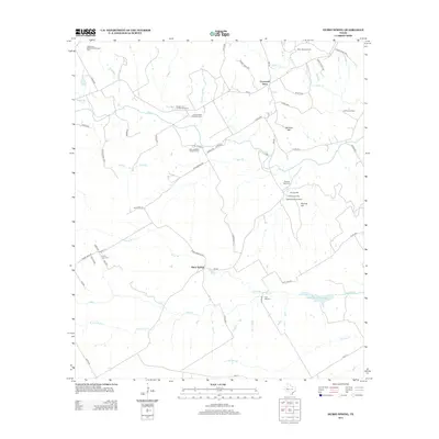
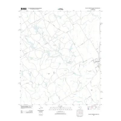
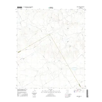
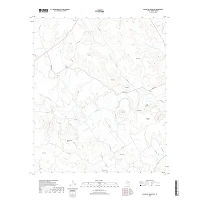
1956 Map of Sugarloaf Mountain
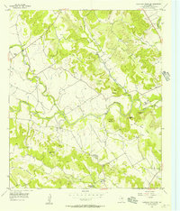
USGS Topo · Published 1979About this map
Sugarloaf Mountain and Norse Hill anchor this rugged section of Bosque County, characterized by a series of prominent peaks and the winding course of Meridian Creek. The landscape is dotted with small-scale industrial sites, including numerous caliche pits and the curiously named Norse Gold Mine near the southern boundary. Settlement is sparse, focused around the Midway Store in the northwest and Our Saviors Ch to the southeast, reflecting a rural Texas community structured around local landmarks and parish life.
Find a feature on this map
27 named features on this map. Tap any name to fly to it.
Don’t see what you’re looking for? This feature index may not catch every label — zoom into the map to look around manually.
Map Details
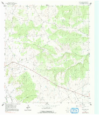
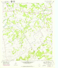
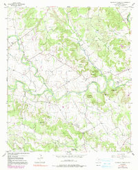
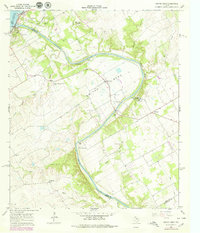
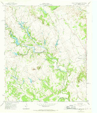
Editions of this 1956 Sugarloaf Mountain Map
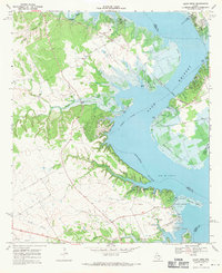
Historical Maps of Norse Through Time
49 maps found
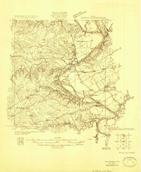
1924 Waco 2-b
Bosque County, TX
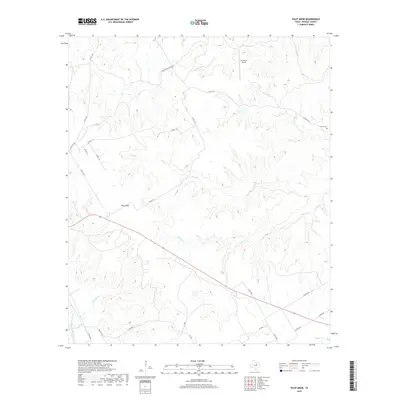
1955 Pilot Knob
Bosque County, TX
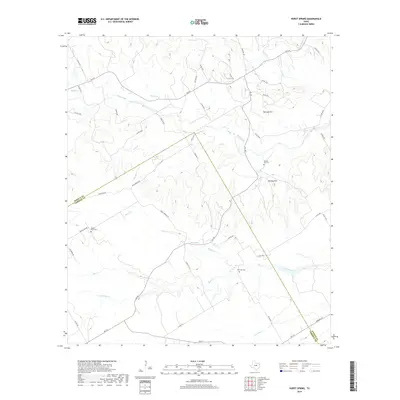
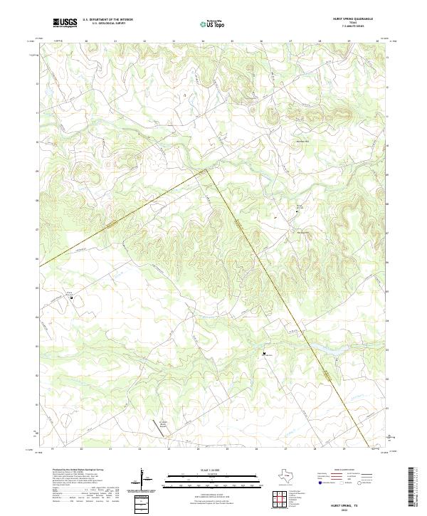
1956 Hurst Spring
Bosque County, TX
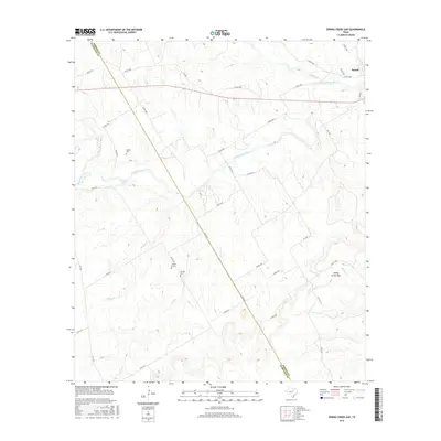
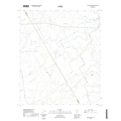
1956 Spring Creek Gap
Bosque County, TX
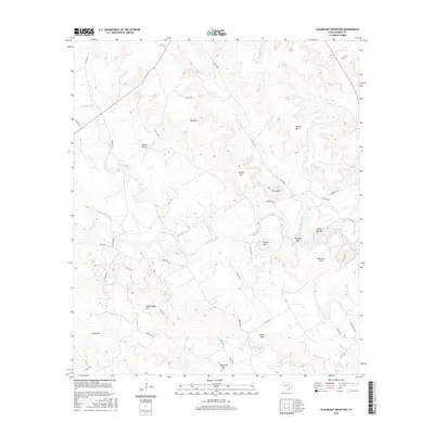
1956 Sugarloaf Mountain
Bosque County, TX
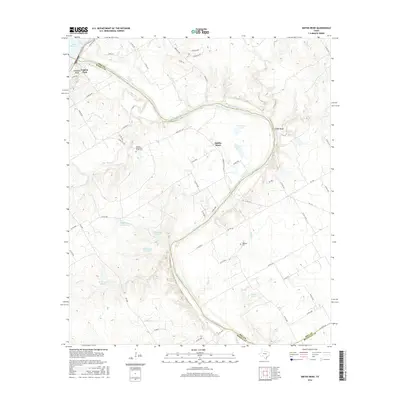
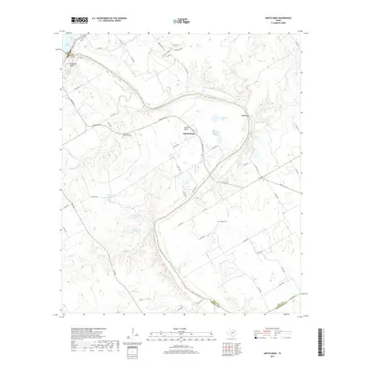
1966 Smiths Bend
Bosque County, TX
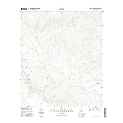
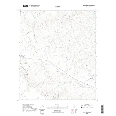
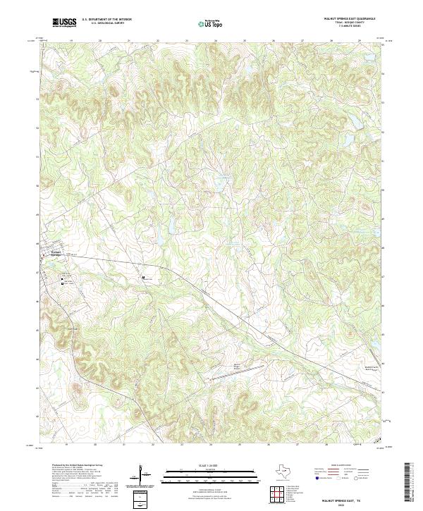
1966 Walnut Springs East
Bosque County, TX
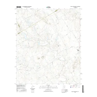
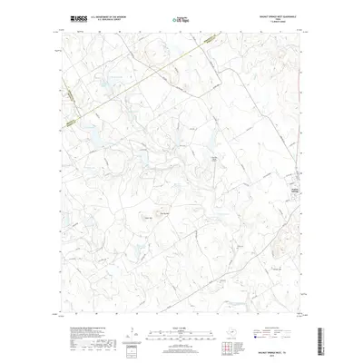
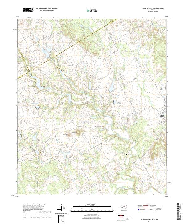
1966 Walnut Springs West
Bosque County, TX
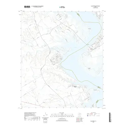
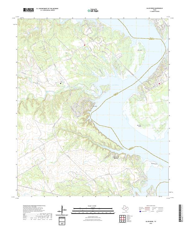
1968 Allen Bend
Bosque County, TX
2010 Allen Bend
Bosque County, TX
2010 Hurst Spring
Bosque County, TX
2010 Pilot Knob
Bosque County, TX
2010 Smiths Bend
Bosque County, TX
2010 Spring Creek Gap
Bosque County, TX
2010 Sugarloaf Mountain
Bosque County, TX
2010 Walnut Springs East
Bosque County, TX
2010 Walnut Springs West
Bosque County, TX
2012 Allen Bend
Bosque County, TX
2012 Hurst Spring
Bosque County, TX
2012 Pilot Knob
Bosque County, TX
2012 Spring Creek Gap
Bosque County, TX
2012 Sugarloaf Mountain
Bosque County, TX
2012 Walnut Springs West
Bosque County, TX
2013 Smiths Bend
Bosque County, TX
2013 Walnut Springs East
Bosque County, TX
2016 Allen Bend
Bosque County, TX
2016 Hurst Spring
Bosque County, TX

2016 Pilot Knob
Bosque County, TX
2016 Smiths Bend
Bosque County, TX
2016 Spring Creek Gap
Bosque County, TX
2016 Sugarloaf Mountain
Bosque County, TX
2016 Walnut Springs East
Bosque County, TX
2016 Walnut Springs West
Bosque County, TX
2019 Allen Bend
Bosque County, TX
2019 Hurst Spring
Bosque County, TX
2019 Pilot Knob
Bosque County, TX
2019 Smiths Bend
Bosque County, TX
2019 Spring Creek Gap
Bosque County, TX
2019 Sugarloaf Mountain
Bosque County, TX
2019 Walnut Springs East
Bosque County, TX
2019 Walnut Springs West
Bosque County, TX
2022 Allen Bend
Bosque County, TX
2022 Hurst Spring
Bosque County, TX
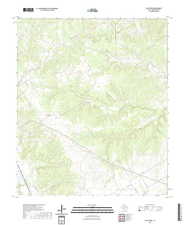
2022 Pilot Knob
Bosque County, TX
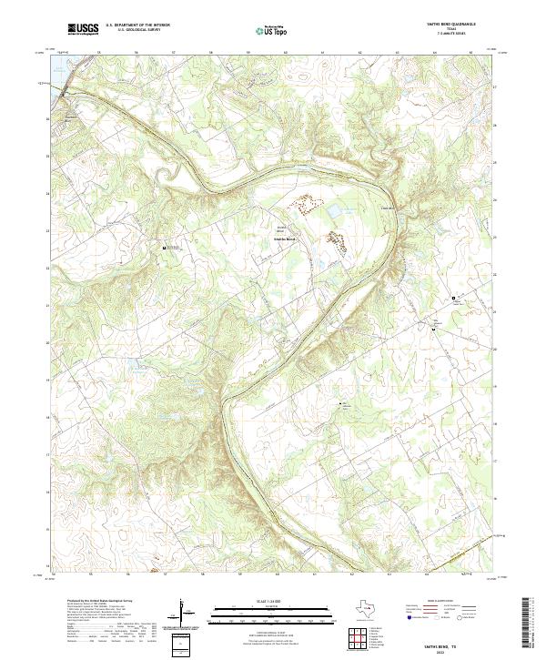
2022 Smiths Bend
Bosque County, TX
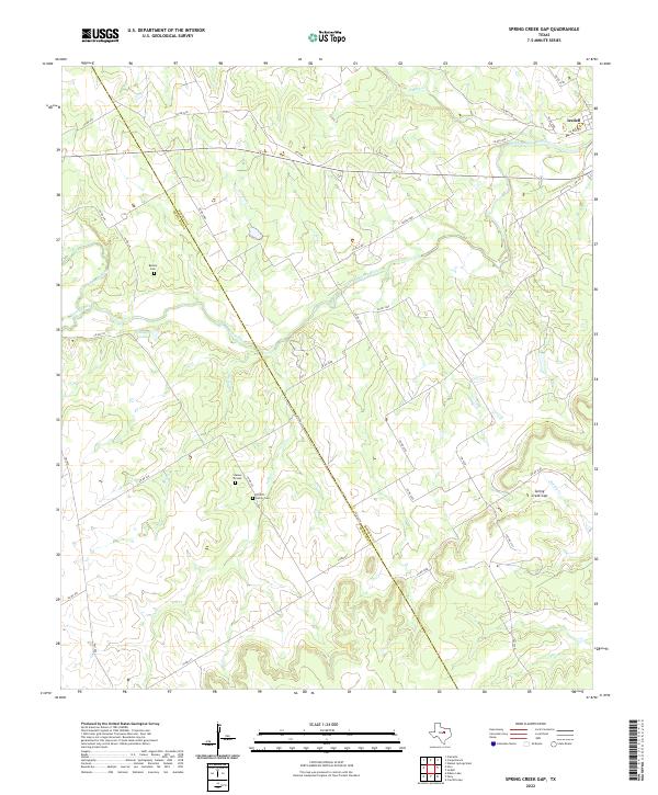
2022 Spring Creek Gap
Bosque County, TX
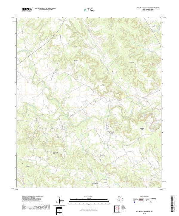
2022 Sugarloaf Mountain
Bosque County, TX
2022 Walnut Springs East
Bosque County, TX
2022 Walnut Springs West
Bosque County, TX