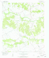
1956 Map of Hurst Spring
USGS Topo · Published 1956About this map
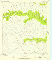
Norway Hill and Norman Hill rise above the agricultural landscape of the central Texas prairie, marking the boundary where Bosque and Coryell counties meet. This mid-century survey illustrates a rural world transitioning as smaller institutions consolidated; the Hurst Spring Sch (Aband) is already noted as out of use, while the Old Norway Mill and nearby Norway Mill Cemetery point to the area's earlier industrial and immigrant history. Small-scale commerce is centered at the Crossroad Store, situated near the headwaters of Gary Creek.
Find a feature on this map
22 named features on this map. Tap any name to fly to it.
Don’t see what you’re looking for? This feature index may not catch every label — zoom into the map to look around manually.
Map Details
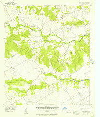
Editions of this 1956 Hurst Spring Map
2 editions found
Other maps of this area

1888 · Meridian
USGS Topo · 1:125,000

1894 · Meridian
USGS Topo · 1:125,000

1954 · Waco
USGS Topo · 1:250,000

1955 · Waco
USGS Topo · 1:250,000

1955 · Clifton
USGS Topo · 1:24,000
1955 · Turnersville
USGS Topo · 1:24,000
1955 · Ater
USGS Topo · 1:24,000
1955 · Coryell
USGS Topo · 1:24,000

1956 · Cranfills Gap
USGS Topo · 1:24,000
1956 · Mosheim
USGS Topo · 1:24,000