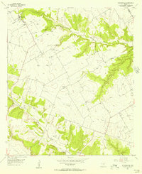
1955 Map of Turnersville
USGS Topo · Published 1956About this map
Turnersville sits at the headwaters of the Middle Bosque Creek system, anchoring a rural landscape defined by the winding drainages of Central Texas in the mid-1950s. The area is characterized by small dispersed settlements like Whitehall and Pickens, connected by a network of unimproved roads that navigate the creek valleys and limestone uplands. This survey, based on 1955 aerial photography, captures the cultural footprint of the land through its rural institutions, including Liberty Ch and Coryell Valley Ch.
Find a feature on this map
19 named features on this map. Tap any name to fly to it.
Don’t see what you’re looking for? This feature index may not catch every label — zoom into the map to look around manually.
Map Details
Editions of this 1955 Turnersville Map
2 editions found
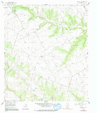
Other maps of this area

1888 · Meridian
USGS Topo · 1:125,000

1894 · Meridian
USGS Topo · 1:125,000

1894 · Gatesville
USGS Topo · 1:125,000

1947 · Purmela
USGS Topo · 1:62,500

1947 · Oglesby
USGS Topo · 1:24,000

1947 · Gatesville West
USGS Topo · 1:24,000

1947 · Gatesville East
USGS Topo · 1:24,000
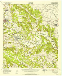
1950 · Gatesville
USGS Topo · 1:62,500

1954 · Waco
USGS Topo · 1:250,000
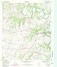
1954 · Gatesville West
USGS Topo · 1:24,000