Loading...
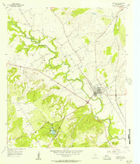
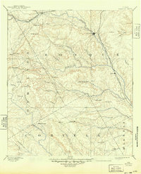
Loading map...1955 Map of Meridian
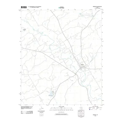
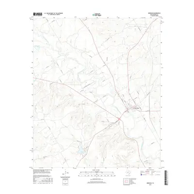
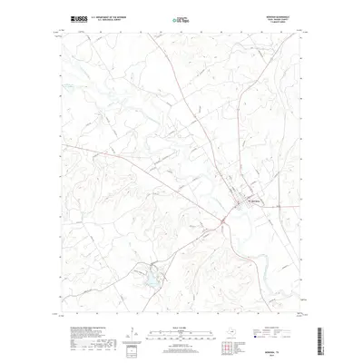
USGS Topo · Published 1956About this map
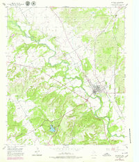
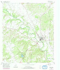
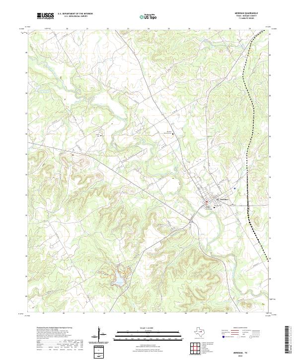
Meridian State Park and its surrounding hill country landscape define this mid-1950s survey of Bosque County. The Bosque River meanders through the northern section of the map, carving a path through terrain marked by numerous tributaries like Gibson Branch and Bee Creek. The settlement of Meridian serves as the local hub, centered around the Gulf Colorado and Santa Fe (AT & SF) railroad line.
Find a feature on this map
13 named features on this map. Tap any name to fly to it.
Don’t see what you’re looking for? This feature index may not catch every label — zoom into the map to look around manually.
Map Details
Date Portrayed1955
Date Published1956
PublisherU.S. Geological Survey
Map TypeTopographic
Scale1:24,000
Physical Dimensions23 x 26.9 inches
Editions of this 1955 Meridian Map
3 editions found
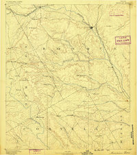
Historical Maps of Meridian Through Time
8 maps found

Featured Locations
Source Details
SourceU.S. Geological Survey
CopyrightPublic Domain