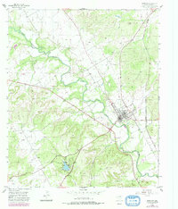
1955 Map of Meridian
USGS Topo · Published 1979About this map
Meridian serves as the focal point of this Bosque County landscape, situated where the Atchison Topeka and Santa Fe railroad tracks intersect the local road network. The town's layout includes essential community landmarks such as the High Sch and local burial grounds like Hanna Cem. To the southwest, Meridian State Park centers on a significant water body, providing a distinct recreational contrast to the surrounding agricultural and ranching terrain. The North Bosque River winds prominently through the quadrangle, joined by tributaries including Bee Creek, Dues Branch, and Gibson Branch. These waterways and their associated topography influenced the placement of early transportation routes and land use, from the Golf Course near town to scattered industrial sites like the Gravel Pit.
Find a feature on this map
13 named features on this map. Tap any name to fly to it.
Don’t see what you’re looking for? This feature index may not catch every label — zoom into the map to look around manually.
Map Details
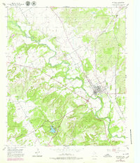
Editions of this 1955 Meridian Map
3 editions found
Other maps of this area

1888 · Meridian
USGS Topo · 1:125,000

1889 · Granbury
USGS Topo · 1:125,000

1894 · Meridian
USGS Topo · 1:125,000

1931 · Morgan
USGS Topo · 1:62,500

1954 · Dallas
USGS Topo · 1:250,000

1954 · Waco
USGS Topo · 1:250,000

1955 · Waco
USGS Topo · 1:250,000

1955 · Clifton
USGS Topo · 1:24,000

1955 · Meridian
USGS Topo · 1:24,000
1955 · Pilot Knob
USGS Topo · 1:24,000