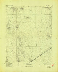
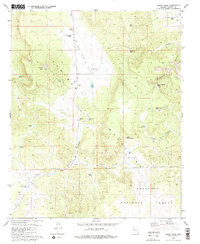
1981 Map of Sugarloaf Peak
USGS Topo · Published 1981About this map
Sugarloaf Pk rises above a landscape defined by ranching infrastructure and the expansive Seventy Four Plains in this 1981 survey of Yavapai County. The terrain is marked by a network of water management features essential for livestock in this arid environment, including family-named and utilitarian catchments like Celedonio Tank, Indian Tank, and Airport Tank. A long Pipeline cuts across the southern portion of the sheet, paralleling Markham Wash and connecting various water sources.
Find a feature on this map
16 named features on this map. Tap any name to fly to it.
Don’t see what you’re looking for? This feature index may not catch every label — zoom into the map to look around manually.
Map Details
Editions of this 1981 Sugarloaf Peak Map
2 editions found
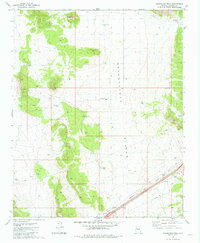
Other maps of this area

1886 · Diamond Creek
USGS Topo · 1:250,000

1892 · Diamond Creek
USGS Topo · 1:250,000

1948 · Williams
USGS Topo · 1:250,000

1954 · Williams
USGS Topo · 1:250,000

1956 · Williams
USGS Topo · 1:250,000

1960 · Williams
USGS Topo · 1:250,000

1961 · Williams
USGS Topo · 1:250,000
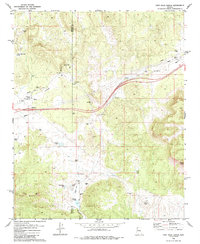
1980 · Fort Rock Ranch
USGS Topo · 1:24,000
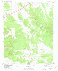
1980 · Cross Mountain
USGS Topo · 1:24,000
1980 · Squaw Peak
USGS Topo · 1:24,000