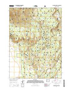
2014 Map of Sugarpine Mountain
USGS Topo · Published 2014About this map
Winema National Forest encompasses this high-altitude landscape in Klamath County, dominated by volcanic terrain and vital water sources. The namesake Sugarpine Mountain rises in the northwest, while God Butte stands as a prominent landmark further south. This 2014 survey reveals an intricate network of forest development roads, such as Nat For Dev Rd 86 and Nat For Dev Rd 83, which provide access to the area's numerous natural springs. These water points, including Deer Scaffold Spring, Kicking Horse Spring, and Bedpan Spring, represent critical resources in a region defined by seasonal drainages like Mosquito Cr and God Cr. The presence of Paddys Meadow and Sagebrush Point highlights the varied ecology of the eastern Cascades, where timber and water management are the primary human imprints on the land.
Find a feature on this map
30 named features on this map. Tap any name to fly to it.
Don’t see what you’re looking for? This feature index may not catch every label — zoom into the map to look around manually.
Map Details
Editions of this 2014 Sugarpine Mountain Map
This is the sole edition of this map. No revisions or reprints were ever made.
Other maps of this area

1889 · Klamath
USGS Topo · 1:250,000

1894 · Klamath
USGS Topo · 1:250,000

1935 · Chemult
USGS Topo · 1:96,000

1941 · Chemult
USGS Topo · 1:125,000

1955 · Crescent
USGS Topo · 1:250,000

1955 · Klamath Falls
USGS Topo · 1:250,000

1957 · Crescent
USGS Topo · 1:250,000

1957 · Klamath Marsh
USGS Topo · 1:62,500

1958 · Crescent
USGS Topo · 1:250,000

1958 · Klamath Falls
USGS Topo · 1:250,000