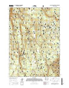
2017 Map of Sugarpine Mountain NW
USGS Topo · Published 2017About this map
Walker Rim dominates the western edge of this portion of the Winema National Forest, where high-elevation terrain is defined by its seasonal water sources and forestry access. This landscape is a network of springs and timber roads, indicating a backcountry area managed for its natural resources rather than permanent settlement. Named water features like Halfway Spring, Grimmet Spring, and Bootleg Spring are critical markers for anyone navigating the volcanic Cascades terrain.
Find a feature on this map
26 named features on this map. Tap any name to fly to it.
Don’t see what you’re looking for? This feature index may not catch every label — zoom into the map to look around manually.
Map Details
Editions of this 2017 Sugarpine Mountain NW Map
This is the sole edition of this map. No revisions or reprints were ever made.
Other maps of this area

1935 · Chemult
USGS Topo · 1:96,000

1941 · Chemult
USGS Topo · 1:125,000

1955 · Crescent
USGS Topo · 1:250,000

1957 · Crescent
USGS Topo · 1:250,000

1958 · Crescent
USGS Topo · 1:250,000
1967 · Chemult
USGS Topo · 1:24,000
1967 · Muttonchop Butte
USGS Topo · 1:24,000
1967 · Mazama
USGS Topo · 1:24,000
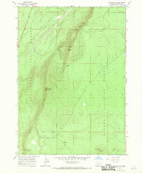
1967 · Walker Mtn
USGS Topo · 1:24,000
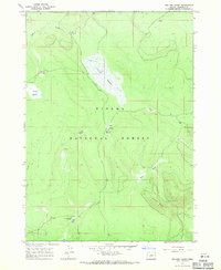
1967 · Sellers Marsh
USGS Topo · 1:24,000