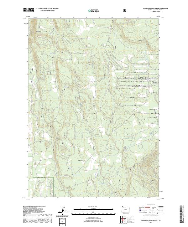
2023 Map of Sugarpine Mountain NW
USGS Topo · Published 2023About this map
Walker Rim dominates the northwest corner of this Klamath County landscape, overlooking a complex network of forest roads and seasonal drainage systems. The area is defined by the high-elevation woodlands of the Winema National Forest, where water sources are primarily found in scattered isolated springs rather than perennial rivers. Names like Grimmet Spring, Bootleg Spring, and Coyote Spring suggest a history of seasonal usage by ranchers or travelers navigating the high desert timberlands. Towards the southern reaches, the terrain levels out into the broad opening of Bear Flat, a significant local landmark where Lost Creek and Shoestring Creek intersect. This modern survey illustrates the enduring importance of these small water points, such as Shoestring Spring and Lost Creek Spring, in an otherwise arid and forested volcanic plateau.
Find a feature on this map
16 named features on this map. Tap any name to fly to it.
Don’t see what you’re looking for? This feature index may not catch every label — zoom into the map to look around manually.
Map Details
Editions of this 2023 Sugarpine Mountain NW Map
This is the sole edition of this map. No revisions or reprints were ever made.
Other maps of this area

1935 · Chemult
USGS Topo · 1:96,000

1941 · Chemult
USGS Topo · 1:125,000

1955 · Crescent
USGS Topo · 1:250,000

1957 · Crescent
USGS Topo · 1:250,000

1958 · Crescent
USGS Topo · 1:250,000
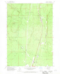
1967 · Chemult
USGS Topo · 1:24,000
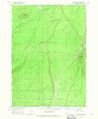
1967 · Muttonchop Butte
USGS Topo · 1:24,000
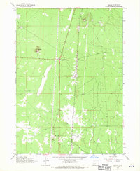
1967 · Mazama
USGS Topo · 1:24,000
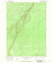
1967 · Walker Mtn
USGS Topo · 1:24,000
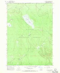
1967 · Sellers Marsh
USGS Topo · 1:24,000