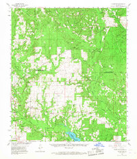
1961 Map of Sugartown
USGS Topo · Published 1968About this map
Sugartown and the surrounding piney woods of Vernon and Beauregard Parish are depicted in this early 1960s survey, showing a landscape defined by timber, small settlements, and an extensive network of creeks. The northern portion of the map is dominated by the Kisatchie National Forest, where features like the Vernon Lookout Tower and Drakes Fork Cem sit among the headwaters of Drakes Creek and Chitto Creek.
Find a feature on this map
104 named features on this map. Tap any name to fly to it.
Don’t see what you’re looking for? This feature index may not catch every label — zoom into the map to look around manually.
Map Details
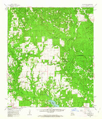
Editions of this 1961 Sugartown Map
2 editions found
Other maps of this area

1935 · Mittie
USGS Topo · 1:31,680

1941 · Leesville
USGS Topo · 1:62,500

1941 · Slagle
USGS Topo · 1:62,500

1943 · Leesville
USGS Topo · 1:62,500

1943 · Leander
USGS Topo · 1:62,500

1944 · Slagle
USGS Topo · 1:62,500

1946 · Leesville
USGS Topo · 1:62,500

1947 · DeRidder
USGS Topo · 1:31,680

1947 · Rosepine
USGS Topo · 1:31,680

1947 · Ikes
USGS Topo · 1:31,680