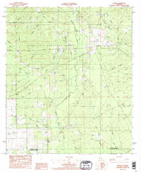
1986 Map of Sugrue
USGS Topo · Published 1986About this map
Cravens and Sugrue anchor this section of central Louisiana, situated within the sprawling pine lands of the Kisatchie National Forest. The landscape is defined by a dense network of drainage, where Whisky Chitto Creek and its many tributaries, such as Big Coon Branch and Sassafras Branch, carve through the terrain. Evidence of local industry is present in several Gravel Pit sites, while infrastructure like the Pumping Station and a Radio Tower near Cravens indicate the mid-century utility development of the parish.
Find a feature on this map
36 named features on this map. Tap any name to fly to it.
Don’t see what you’re looking for? This feature index may not catch every label — zoom into the map to look around manually.
Map Details
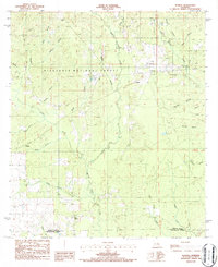
Editions of this 1986 Sugrue Map
2 editions found
Other maps of this area

1941 · Slagle
USGS Topo · 1:62,500

1943 · Leander
USGS Topo · 1:62,500

1944 · Slagle
USGS Topo · 1:62,500

1947 · Ikes
USGS Topo · 1:31,680

1947 · Chasmore
USGS Topo · 1:31,680

1947 · Grant
USGS Topo · 1:31,680

1947 · Sugartown
USGS Topo · 1:31,680

1947 · Sugrue
USGS Topo · 1:31,680

1947 · Pitkin
USGS Topo · 1:31,680

1948 · Grant
USGS Topo · 1:24,000