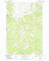
1977 Map of Sula
USGS Topo · Published 1977About this map
The broad valley of Ross Hole serves as a centerpiece for this study of the upper East Fork Bitterroot River basin. At the junction of Sula Creek and the river, the settlement of Sula appears alongside vital community landmarks such as the Sula Cem and the Sula Ranger Station. The landscape transitions from the river bottom into the high country of the Bitterroot National Forest, where fire suppression and mountain surveillance are represented by the Sula Peak Lookout Tower. Moving south toward the Continental Divide, the map tracks the ascent toward the Ravalli Co Beaverhead Co line, passing recreational sites like Indian Trees Campground and Lost Trail Camp. Numerous drainages, including Camp Creek and Tolan Creek, reveal a network of Jeep Trails and Pack Trails that weave through the ridges.
Find a feature on this map
37 named features on this map. Tap any name to fly to it.
Don’t see what you’re looking for? This feature index may not catch every label — zoom into the map to look around manually.
Map Details
Editions of this 1977 Sula Map
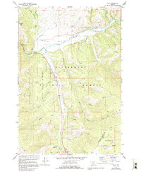
2 editions found
Other maps of this area

1955 · Dillon
USGS Topo · 1:250,000

1956 · Elk City
USGS Topo · 1:250,000

1957 · Dillon
USGS Topo · 1:250,000

1958 · Dillon
USGS Topo · 1:250,000

1960 · Elk City
USGS Topo · 1:250,000

1960 · Piquett Mountain
USGS Topo · 1:62,500

1962 · Dillon
USGS Topo · 1:250,000
1964 · Robbins Gulch
USGS Topo · 1:24,000

1965 · Dillon
USGS Topo · 1:250,000

1965 · Medicine Hot Springs
USGS Topo · 1:24,000