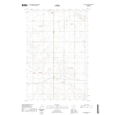
2020 Map of Sullivan Coulee
USGS Topo · Published 2020About this map
The Redwater River winds through this section of the High Plains, carving a landscape defined by the drainage networks of Sullivan Coulee and Milne Coulee. This 2020 survey documents the border region between McCone and Richland counties, where the terrain is marked by deep coulees and intermittent creeks such as Muskrat Cr and Davis Coulee. The mapping of these drainages reveals the hydrological pattern of a semi-arid environment where water determines the contour of the land.
Find a feature on this map
23 named features on this map. Tap any name to fly to it.
Don’t see what you’re looking for? This feature index may not catch every label — zoom into the map to look around manually.
Map Details
Editions of this 2020 Sullivan Coulee Map
This is the sole edition of this map. No revisions or reprints were ever made.
Other maps of this area

1912 · Chelsea
USGS Topo · 1:62,500

1912 · Poplar
USGS Topo · 1:62,500

1954 · Glendive
USGS Topo · 1:250,000

1954 · Wolf Point
USGS Topo · 1:250,000

1957 · Glendive
USGS Topo · 1:250,000

1958 · Wolf Point
USGS Topo · 1:250,000

1958 · Glendive
USGS Topo · 1:250,000

1972 · Poplar
USGS Topo · 1:24,000
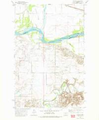
1972 · Nickwall
USGS Topo · 1:24,000
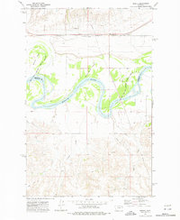
1972 · Sprole
USGS Topo · 1:24,000