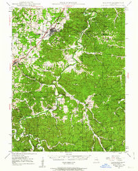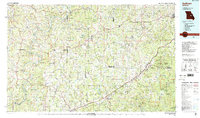
2021 Map of Sullivan
USGS Topo · Published 2021About this map
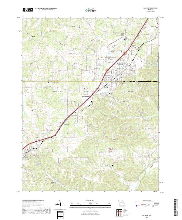
The BNSF Railway corridor dictates the rhythm of this 2021 landscape, connecting the industrial and residential hubs of Sullivan, West Sullivan, and Bourbon. This area, spanning the border of Franklin and Crawford counties, shows a transition from structured town grids to the winding topography of the Ozark foothills. Numerous cemeteries serve as markers of local genealogy, including the Independent Order of Odd Fellows Memorial Cem and the Saint Anthonys Cem near the Sullivan Regional Airport.
Find a feature on this map
156 named features on this map. Tap any name to fly to it.
Don’t see what you’re looking for? This feature index may not catch every label — zoom into the map to look around manually.
Map Details
Editions of this 2021 Sullivan Map
This is the sole edition of this map. No revisions or reprints were ever made.
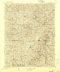
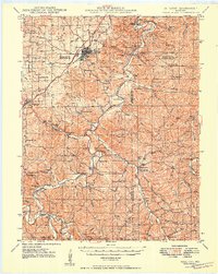
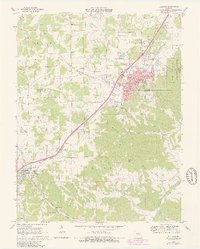
Historical Maps of Elmont Through Time
6 maps found