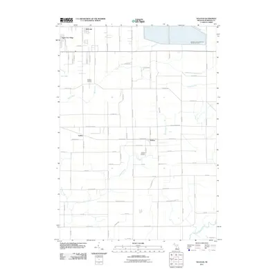
2011 Map of Sullivan
USGS Topo · Published 2011About this map
Sullivan and its surrounding township define this section of Muskegon County, where residential clusters like Apple Carr Village and Wolf Lake interface with a grid of rural roads and drainage networks. The landscape is heavily influenced by water management, notably the large Muskegon County Wastewater Management System in the northeast and the course of Black Creek and Norris Creek. Genealogists will find the Egelston Township Cemetery and Sullivan Township Cemetery clearly marked, providing precise locations for family history research.
Find a feature on this map
64 named features on this map. Tap any name to fly to it.
Don’t see what you’re looking for? This feature index may not catch every label — zoom into the map to look around manually.
Map Details
Editions of this 2011 Sullivan Map
This is the sole edition of this map. No revisions or reprints were ever made.
Other maps of this area

1930 · Muskegon
USGS Topo · 1:62,500

1936 · Muskegon
USGS Topo · 1:62,500

1945 · Ravenna
USGS Topo · 1:62,500

1954 · Milwaukee
USGS Topo · 1:250,000

1954 · Midland
USGS Topo · 1:250,000

1958 · Midland
USGS Topo · 1:250,000

1958 · Milwaukee
USGS Topo · 1:250,000

1958 · Twin Lake
USGS Topo · 1:62,500

1958 · Fremont
USGS Topo · 1:62,500

1959 · Midland
USGS Topo · 1:250,000
Featured Places
- Sullivan, MI
- Fruitport Charter Township, MI
- Ravenna Township, MI
- Egelston Township, MI
- Sullivan Township, MI