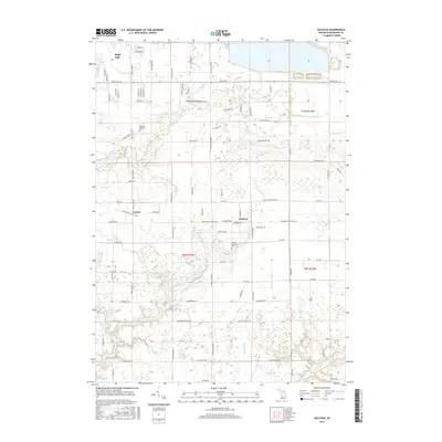
2017 Map of Sullivan
USGS Topo · Published 2017About this map
Sullivan and its surrounding township define this portion of Muskegon County, where a complex network of agricultural and natural waterways shapes the landscape. The drainage patterns are meticulously documented, featuring named infrastructure like the Muskegon Newaygo Drain, Sanford Drain, and Lawrence Drain which feed into natural systems like Crockery Creek. This intersection of man-made and natural hydrology is characteristic of the region's historical efforts to manage low-lying lands for development and farming.
Find a feature on this map
81 named features on this map. Tap any name to fly to it.
Don’t see what you’re looking for? This feature index may not catch every label — zoom into the map to look around manually.
Map Details
Editions of this 2017 Sullivan Map
This is the sole edition of this map. No revisions or reprints were ever made.
Other maps of this area

1930 · Muskegon
USGS Topo · 1:62,500

1936 · Muskegon
USGS Topo · 1:62,500

1945 · Ravenna
USGS Topo · 1:62,500

1954 · Milwaukee
USGS Topo · 1:250,000

1954 · Midland
USGS Topo · 1:250,000

1958 · Midland
USGS Topo · 1:250,000

1958 · Milwaukee
USGS Topo · 1:250,000

1958 · Twin Lake
USGS Topo · 1:62,500

1958 · Fremont
USGS Topo · 1:62,500

1959 · Midland
USGS Topo · 1:250,000
Featured Places
- Sullivan, MI
- Fruitport Charter Township, MI
- Ravenna Township, MI
- Egelston Township, MI
- Sullivan Township, MI