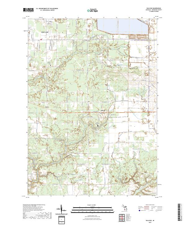
2023 Map of Sullivan
USGS Topo · Published 2023About this map
Sullivan and Wolf Lake serve as the primary residential hubs in this portion of Muskegon County, defined by a dense network of township roads and drainage systems. The landscape is characterized by its complex hydrology, where Black Creek and the Muskegon Newaygo Drain facilitate water movement across the flat terrain. For genealogists and local historians, the presence of the Sullivan Township Cemetery and the Egelston Township Cemetery provides concrete location data for regional research. Small settlements like Updyke appear along the local thoroughfares, while named water bodies such as Crockery Creek, Norris Creek, and Vincent Creek highlight the natural drainages that have influenced land use and property boundaries in this part of Michigan. The layout of roads like Apple Avenue and South Maple Island Road illustrates the modern development pattern layered over traditional agricultural sections.
Find a feature on this map
83 named features on this map. Tap any name to fly to it.
Don’t see what you’re looking for? This feature index may not catch every label — zoom into the map to look around manually.
Map Details
Editions of this 2023 Sullivan Map
This is the sole edition of this map. No revisions or reprints were ever made.
Other maps of this area

1930 · Muskegon
USGS Topo · 1:62,500

1936 · Muskegon
USGS Topo · 1:62,500

1945 · Ravenna
USGS Topo · 1:62,500

1954 · Milwaukee
USGS Topo · 1:250,000

1954 · Midland
USGS Topo · 1:250,000

1958 · Midland
USGS Topo · 1:250,000

1958 · Milwaukee
USGS Topo · 1:250,000

1958 · Twin Lake
USGS Topo · 1:62,500

1958 · Fremont
USGS Topo · 1:62,500

1959 · Midland
USGS Topo · 1:250,000