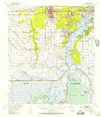
1955 Map of Sulphur
USGS Topo · Published 1956About this map
Sulphur and its surrounding industrial landscape are defined by the mid-century extraction economy of Calcasieu Parish. The map documents the extensive infrastructure supporting the region's sulfur and petroleum sectors, including the Brimstone Field and a large Oil Refinery along the Calcasieu River. This era shows the transition from smaller rural settlements like Carlyss and Stegall to the more developed company-influenced towns of Maplewood and Hollywood.
Find a feature on this map
91 named features on this map. Tap any name to fly to it.
Don’t see what you’re looking for? This feature index may not catch every label — zoom into the map to look around manually.
Map Details
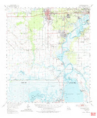
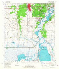
Editions of this 1955 Sulphur Map
3 editions found
Other maps of this area

1932 · Moss Lake
USGS Topo · 1:31,680

1932 · Lake Charles NW
USGS Topo · 1:31,680

1932 · Orange
USGS Topo · 1:62,500

1932 · Lake Charles SW
USGS Topo · 1:31,680

1934 · Sweet Lake
USGS Topo · 1:24,000

1934 · Browns Lake
USGS Topo · 1:24,000

1934 · Five Lakes
USGS Topo · 1:24,000

1935 · Buhler
USGS Topo · 1:31,680

1935 · Moss Bluff
USGS Topo · 1:31,680

1935 · Sweet Lake
USGS Topo · 1:31,680