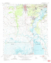
1955 Map of Sulphur
USGS Topo · Published 1963About this map
The industrial and maritime character of Southwest Louisiana is evident in this mid-century survey of Sulphur and its surrounding wetlands. The landscape is defined by the extraction of natural resources, prominently featuring the Brimstone field and an extensive Oil Refinery along the Calcasieu River. Waterways serve as the primary infrastructure for the region, with the Calcasieu Ship Channel and the Intracoastal Waterway facilitating heavy commerce.
Find a feature on this map
86 named features on this map. Tap any name to fly to it.
Don’t see what you’re looking for? This feature index may not catch every label — zoom into the map to look around manually.
Map Details
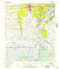
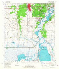
Editions of this 1955 Sulphur Map
3 editions found
Other maps of this area

1932 · Moss Lake
USGS Topo · 1:31,680

1932 · Lake Charles NW
USGS Topo · 1:31,680

1932 · Orange
USGS Topo · 1:62,500

1932 · Lake Charles SW
USGS Topo · 1:31,680

1934 · Sweet Lake
USGS Topo · 1:24,000

1934 · Browns Lake
USGS Topo · 1:24,000

1934 · Five Lakes
USGS Topo · 1:24,000

1935 · Buhler
USGS Topo · 1:31,680

1935 · Moss Bluff
USGS Topo · 1:31,680

1935 · Sweet Lake
USGS Topo · 1:31,680