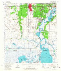
1955 Map of Sulphur
USGS Topo · Published 1967About this map
Sulphur serves as the industrial and civic anchor of this mid-century Calcasieu Parish landscape, where the Southern Pacific and Kansas City Southern railroads converge near the Sulphur Mines Canal. The map reveals a transition from the urban density of Maplewood and Hollywood to the sprawling wetlands of the Calcasieu River delta. Of significant genealogical interest are the scattered rural burial grounds like Moss Cem and Landry Cem, alongside community landmarks such as Salem Sch. The southern reaches are defined by the Intracoastal Waterway and the Hackberry Field oil operations, illustrating the heavy reliance on both waterborne transit and mineral extraction. Landmarks like the Ellender Ferry and Black Bayou Ferry indicate a time before modern bridge networks fully dominated the bayous and marshes of the Gulf Coast.
Find a feature on this map
92 named features on this map. Tap any name to fly to it.
Don’t see what you’re looking for? This feature index may not catch every label — zoom into the map to look around manually.
Map Details
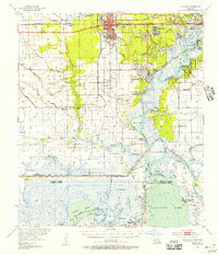
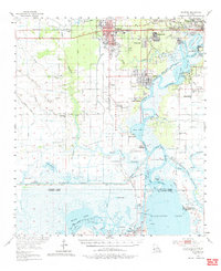
Editions of this 1955 Sulphur Map
3 editions found
Other maps of this area

1932 · Moss Lake
USGS Topo · 1:31,680

1932 · Lake Charles NW
USGS Topo · 1:31,680

1932 · Orange
USGS Topo · 1:62,500

1932 · Lake Charles SW
USGS Topo · 1:31,680

1934 · Sweet Lake
USGS Topo · 1:24,000

1934 · Browns Lake
USGS Topo · 1:24,000

1934 · Five Lakes
USGS Topo · 1:24,000

1935 · Buhler
USGS Topo · 1:31,680

1935 · Moss Bluff
USGS Topo · 1:31,680

1935 · Sweet Lake
USGS Topo · 1:31,680