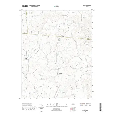
2019 Map of Sulphur Lick
USGS Topo · Published 2019About this map
The E Fork Barren River winds through this rural landscape in Monroe County, defining a region where small unincorporated communities like Cyclone, Rockbridge, and Persimmon serve as local hubs. This territory is marked by deep hollows and creek beds, including Piercy Hollow and the waters of Skaggs Cr. Genealogists will find significant value in the documentation of family-named landmarks and burial sites, such as Wade Cem, Mosier Cem, and Dubre Cem. The road network provides evidence of historical community infrastructure through labels like Bray School Rd and Sand Lick Church Rd, reflecting the importance of local institutions in this part of Kentucky. The map also delineates the meeting of multiple county lines, showing where Barren and Monroe counties converge amidst a terrain of branching tributaries like Nobob Cr and Marrowbone Cr.
Find a feature on this map
118 named features on this map. Tap any name to fly to it.
Don’t see what you’re looking for? This feature index may not catch every label — zoom into the map to look around manually.
Map Details
Editions of this 2019 Sulphur Lick Map
This is the sole edition of this map. No revisions or reprints were ever made.
Other maps of this area

1929 · Tompkinsville
USGS Topo · 1:62,500

1931 · Red Boiling Springs
USGS Topo · 1:62,500

1953 · Sulphur Lick
USGS Topo · 1:24,000

1953 · Temple Hill
USGS Topo · 1:24,000

1953 · Freedom
USGS Topo · 1:24,000

1953 · Edmonton
USGS Topo · 1:24,000

1953 · Summer Shade
USGS Topo · 1:24,000

1953 · Dubre
USGS Topo · 1:24,000

1954 · Gamaliel
USGS Topo · 1:24,000

1954 · Tompkinsville
USGS Topo · 1:24,000