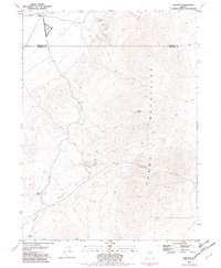
1981 Map of Sulphur
USGS Topo · Published 1982About this map
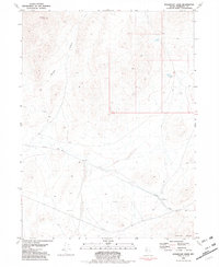
Mining and railway operations define this high-desert landscape on the border of Humboldt and Pershing Counties in the early 1980s. The settlement of Sulphur serves as the primary hub, situated along the Western Pacific railroad line near a Landing Field and specialized infrastructure like Water Tanks. The eastern half of the sheet is dominated by the Kama Mountains, a terrain marked by significant mineral exploration including the Rosebud Mine, Double O Mine, and numerous unnamed prospects.
Find a feature on this map
21 named features on this map. Tap any name to fly to it.
Don’t see what you’re looking for? This feature index may not catch every label — zoom into the map to look around manually.
Map Details
Editions of this 1981 Sulphur Map
2 editions found
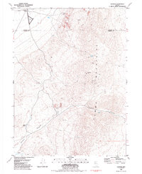
Other maps of this area

1931 · Lovelock
USGS Topo · 1:250,000

1935 · Lovelock
USGS Topo · 1:250,000

1955 · Lovelock
USGS Topo · 1:250,000

1959 · Lovelock
USGS Topo · 1:250,000
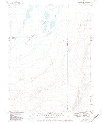
1981 · Rabbithole NE
USGS Topo · 1:24,000
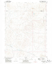
1981 · Sawtooth Knob
USGS Topo · 1:24,000

1981 · Dead Horse Canyon NE
USGS Topo · 1:24,000

1981 · Scossa
USGS Topo · 1:24,000

1981 · Placerites
USGS Topo · 1:24,000
1981 · Sugarloaf Knob
USGS Topo · 1:24,000