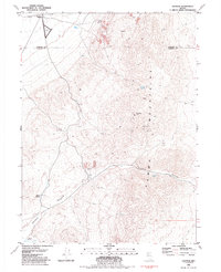
1981 Map of Sulphur
USGS Topo · Published 1985About this map
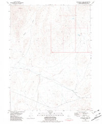
The Western Pacific railroad corridor defines the northern reaches of this high-desert landscape, where the small settlement of Sulphur sits near the crossing of the Humboldt and Pershing county line. The terrain is characterized by the prominent Kama Mountains, a range punctuated by Rosebud Peak and carved by the deep Rosebud Canyon. This 1981 survey documents a landscape heavily influenced by resource extraction and sparse water sources, showing a network of 4wd trails connecting various prospects and established sites like the Rosebud Mine and Double O Mine. Water is a critical and mapped commodity here, with several reliable points including Sulphur Springs, Wild Rose Spring, and Barrel Springs providing necessary lifeblood for the surrounding cattle country and mining operations. A remote Landing Field near the tracks and a Gaging Station on Rabbithole Creek further illustrate the infrastructure required to manage this isolated Nevada interior.
Find a feature on this map
23 named features on this map. Tap any name to fly to it.
Don’t see what you’re looking for? This feature index may not catch every label — zoom into the map to look around manually.
Map Details
Editions of this 1981 Sulphur Map
2 editions found
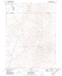
Other maps of this area

1931 · Lovelock
USGS Topo · 1:250,000

1935 · Lovelock
USGS Topo · 1:250,000

1955 · Lovelock
USGS Topo · 1:250,000

1959 · Lovelock
USGS Topo · 1:250,000
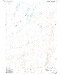
1981 · Rabbithole NE
USGS Topo · 1:24,000
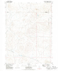
1981 · Sawtooth Knob
USGS Topo · 1:24,000

1981 · Dead Horse Canyon NE
USGS Topo · 1:24,000

1981 · Scossa
USGS Topo · 1:24,000

1981 · Placerites
USGS Topo · 1:24,000
1981 · Sugarloaf Knob
USGS Topo · 1:24,000