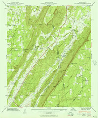
1946 Map of Sulphur Springs
USGS Topo · Published 1956About this map
Lookout Mountain and Sand Mountain dominate this mid-century landscape along the Alabama-Georgia border, where the Southern Railroad follows the valley floor between these massive plateaus. The industrial and transit patterns of the era are visible at Sulphur Springs Station and the small settlements of Battelle and Kaolin, indicating a history tied to the mineral resources and rail access of the Little River Valley.
Find a feature on this map
59 named features on this map. Tap any name to fly to it.
Don’t see what you’re looking for? This feature index may not catch every label — zoom into the map to look around manually.
Map Details
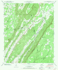
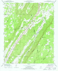
Editions of this 1946 Sulphur Springs Map
3 editions found
Other maps of this area

1886 · Ringgold
USGS Topo · 1:125,000

1886 · Stevenson
USGS Topo · 1:125,000

1892 · Ringgold
USGS Topo · 1:125,000

1892 · Stevenson
USGS Topo · 1:125,000

1895 · Stevenson
USGS Topo · 1:125,000

1935 · Durham
USGS Topo · 1:24,000

1936 · Trenton
USGS Topo · 1:24,000

1936 · Ider
USGS Topo · 1:24,000

1936 · Flat Rock
USGS Topo · 1:24,000

1936 · Dugout Valley
USGS Topo · 1:24,000